
One long High Street
Dorking long consisted of one street, the High Street, splitting into West Street and South Street.
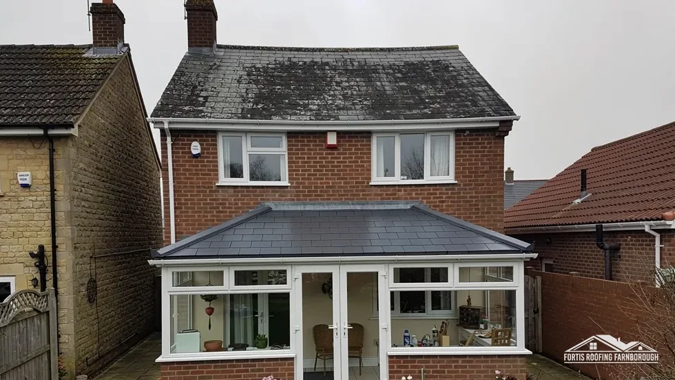
Roofs in a market town below Box Hill and Ranmore
Dorking began as one long High Street, and its old church wore Horsham slate on nearly every roof. Each survey goes slope by slope, slate by slate, with photographs.
Dorking long consisted of one street, the High Street, splitting into West Street and South Street.
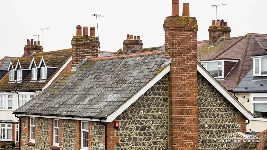
The old church had old Horsham slate on all its roofs except the chancel and north transept.
A low timber and plaster building with three gables and a courtyard, thought in 1911 to be 400 years old.
Map of Dorking with Westcott, Great Bookham, Abinger, Effingham marked around it.
Map data © OpenStreetMap contributors. Loads only when you ask for it.
Dorking is a market town in the Mole valley below Box Hill and Ranmore, at the foot of the Surrey Hills, and Farnborough, to the west, is 28.4 road miles away.
About 28.4 road miles east of Farnborough · Mole Valley District Council and Surrey County Council.
Dorking, slate and the long street
What published figures say about slate life and the pitches it needs, how a long street, a flint church and a timber inn shaped Dorking, and which designations and Grade II* buildings shape a repair.
| No. | Chapter | The figure it turns on |
|---|---|---|
| 01 | Slate: its life and the pitch it needs | Natural slate: 20 degrees minimum pitch |
| 02 | A long street, a flint church, a timber inn | Market claimed as ancient in 1278 |
| 03 | Grade II* buildings, conservation area and Surrey Hills | Surrey Hills covers 7 per cent |
Chapter 02 of 03
Dorking's market town, in four published figures
The county history of 1911 describes Dorking as a town that long consisted of one long street, the High Street, splitting into West Street and South Street. It adds that 30 or 40 years of building had broadened the town and extended it at both ends. The market was claimed by the Earl of Warenne and Surrey in 1278 as being of immemorial antiquity, so the long street had been a trading place for a very long time.
The present St Martin's church is built of black flints and Bath stone. The old church it replaced was of local rubble and flints plastered outside, with old Horsham slate on all its roofs except the chancel and north transept. A building of flint and rubble with a slate roof is a combination we meet on many older properties, and the joints where roof meets wall are where we look first.
The White Horse Inn, anciently the Cross House, is a low building largely of timber and plaster with three gables and a large courtyard off the High Street, reckoned by the history in 1911 to be perhaps 400 years old. Several gables mean several valleys and abutments, and timber frames move, so the repair of a roof like that is a matter of many small joints and not one large slope.
The 2021 Census counted 17,468 usual residents in the Dorking built-up area, and 130 listed buildings stand within 900 metres of the centre, so the town keeps a great deal of older fabric. A survey here is never a matter of assuming from the street what is on the roof. We photograph each slope and record the covering, the pitch, the fixings where they can be seen and the condition of the timbers from the loft.
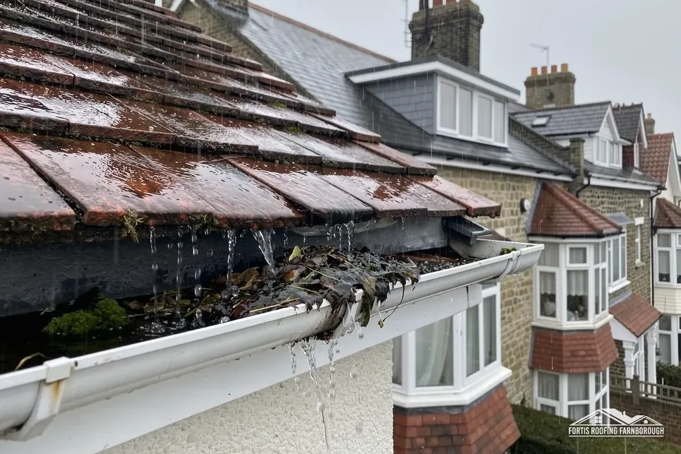
Gutters and fascias matter on such buildings. Water that spills past a failed gutter runs down old walls and into timber, so we check the outlets and flow-test the runs on every visit, and photograph the result.
Market and town
Two boards deserve a word: the fascia, which carries the gutter along the eaves, and the soffit under the overhang. On older houses both can rot unseen, and a gutter screwed to rotten timber pulls away in the next heavy rain, so we probe them with a bradawl and photograph what we find.
Chapter 03 of 03
| Record | In Dorking | For roof work |
|---|---|---|
| Conservation area | Dorking, within about 0.75 km of the centre | Matching repairs; ask Mole Valley about changes |
| National Landscape edge | Surrey Hills, partly: 7% of the 1.5 km area | Ask Mole Valley about dormers at your address |
| Grade II* listed | 20 and 22 High Street (NHLE 1028899) | Listed building consent for work affecting character |
| Grade II* listed | Church of St Martin (NHLE 1028904); Pippbrook House (NHLE 1028875) | Route depends on denomination and use |
Dorking's conservation area sits within about 0.75 km of the town centre, and Mole Valley District Council's planners keep the boundary map. In a conservation area, a repair in matching materials keeps the character the designation exists to protect. Re-slating in the same slate, at the same pitch and with the same ridge is the easy case, whereas a move to a different material should go to the planners first. They can also tell you if an Article 4 direction touches your address, and we ask them before a roof is priced so that you hear one answer, not two.
About 7 per cent of the 1.5 kilometre area around Dorking falls inside the Surrey Hills National Landscape, though the place point itself is outside it. Whether your house is in the designated part depends on the street, and Mole Valley's map shows the line. Our planning permission and roof work guide explains what the designation changes for a dormer or any other alteration, so the rules are kept in one place.

Numbers 20 and 22 High Street have been listed Grade II* since 28 November 1951. The Church of St Martin and Pippbrook House carry the same grade. A listed building needs listed building consent for work that changes its character, and for St Martin's the route depends on its denomination and current use, which we would confirm before pricing any roof work on it.
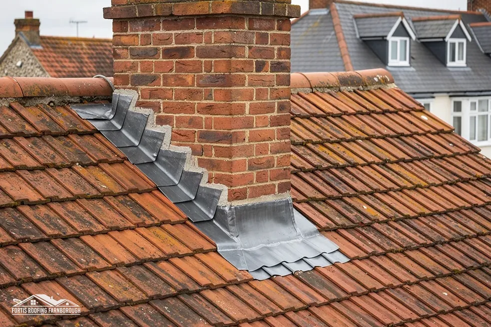
Our slate roofing page explains how slates are sorted, refixed and replaced, and lead roofing and lead work covers the valleys and flashings between gables.
Every older Dorking roof is photographed, with dates, on the first visit and again at completion, and the set joins your file, which a buyer or insurer may later ask to see. If a planner asks what stood there before, the answer is already written down, with dates.
A High Street building often shares walls and sometimes gutters with its neighbours. We photograph those junctions from our side and report what is visible, so that any conversation with next door can start from the same pictures.
Because 130 listed buildings stand within 900 metres of the centre, many Dorking projects touch an older neighbour. Telling us at the survey about any adjoining listed property saves a second visit, since the planners will ask.
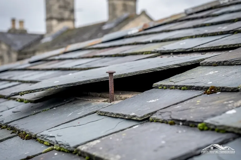
A survey of the fixings and battens before anything else. Old slate often outlives the nails holding it, so the usual repair is refixing the sound slates and replacing broken ones, not re-slating. If battens are rotten across a slope, a re-slate is the honest answer, and we show you the photographs that support it.
Cupa Pizarras reports that BS 5534 indicates a minimum pitch of 20 degrees for natural slate, and that hook fixings are not suited to any pitch below 25 degrees. Always check the product's own data sheet. We measure the pitch on every slate roof, since a shallow slope needs a different fixing from a steep one.
It depends on its denomination and current use. A church in Anglican use goes through the faculty system, while another body would need listed building consent from the council. St Martin's is listed Grade II*, so the route should be confirmed with the right body before any roof work is priced.
At its edge. About 7 per cent of the 1.5 km area around Dorking lies inside it, although the place point itself is outside, so your street decides. Mole Valley District Council holds the boundary. Where a house is inside it, our planning guide sets out what that means for a dormer, while a matching repair goes ahead as usual.
Get your free roof quote
Send us your Dorking address and a few words on what the slate or tiles are doing, and we will book a survey.
10-year workmanship guarantee, in writing.