
Victorian pairs and terraces
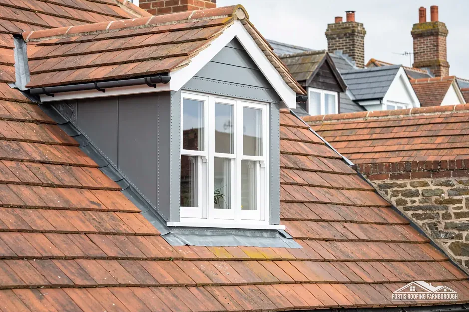
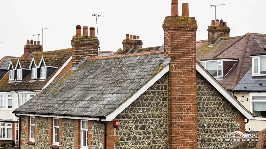
Central Liss has Victorian pairs and terraces with gable roofs whose wide verges cast strong shadow lines.
Victorian pairs, wide verges and Gothic cottages by the Rother
Liss grew along old tracks after the railway and the Enclosure Act of 1845, with Victorian pairs and terraces under gables whose wide verges cast strong shadow lines.
Central Liss has Victorian pairs and terraces with gable roofs whose wide verges cast strong shadow lines.
Glenthorne and Glenvillas on Hillbrow Road are a pair of ornamental Gothic-style cottages.

St Peter's tower is of dark-brown ironstone, with a timber stage and a low shingled octagonal spire.
Map of Liss with Greatham, Sheet, Petersfield, Milland marked around it.
Map data © OpenStreetMap contributors. Loads only when you ask for it.
Greatham lies to the north, Liphook to the north-east, Milland to the east, Sheet and Petersfield to the south-west and Selborne to the north-west, all a short drive away.
About 24.5 road miles south of Farnborough · East Hampshire District Council and Hampshire County Council.
Liss, verges and the Rother
What a wide gable verge asks of its fixings, how the Rother, the railway and the 1845 Enclosure Act shaped Liss, and what the National Park, the 1990 conservation area and the church mean for a repair.
| No. | Chapter | The figure it turns on |
|---|---|---|
| 01 | The Park Authority, Hampshire and the verge | Wide verges need sound fixings |
| 02 | The Rother, the railway and the Enclosure Act | Enclosure Act of 1845 moved the centre |
| 03 | The 1990 conservation area and St Mary's church | Liss conservation area designated 1990 |
Chapter 01 of 03
| Matter | Position at Liss |
|---|---|
| Planning authority | South Downs National Park Authority |
| District council and building control | East Hampshire District Council, its own team |
| County council and highway authority | Hampshire County Council |
| Flood map | Flood Zone 3 within about 250 m of the centre |
| Dry verge system, guide range | Around 500 to 2,000 pounds, MyJobQuote |
Liss lies in the Rother valley north-east of Petersfield, inside the South Downs National Park, so the Park Authority is the planning authority, while East Hampshire District Council runs building control and Hampshire County Council looks after the roads. The Environment Agency maps Flood Zone 3 within about 250 m of the centre, which concerns the valley floor and not the covering of a roof. Farnborough is 24.5 road miles away, so we visit by appointment.
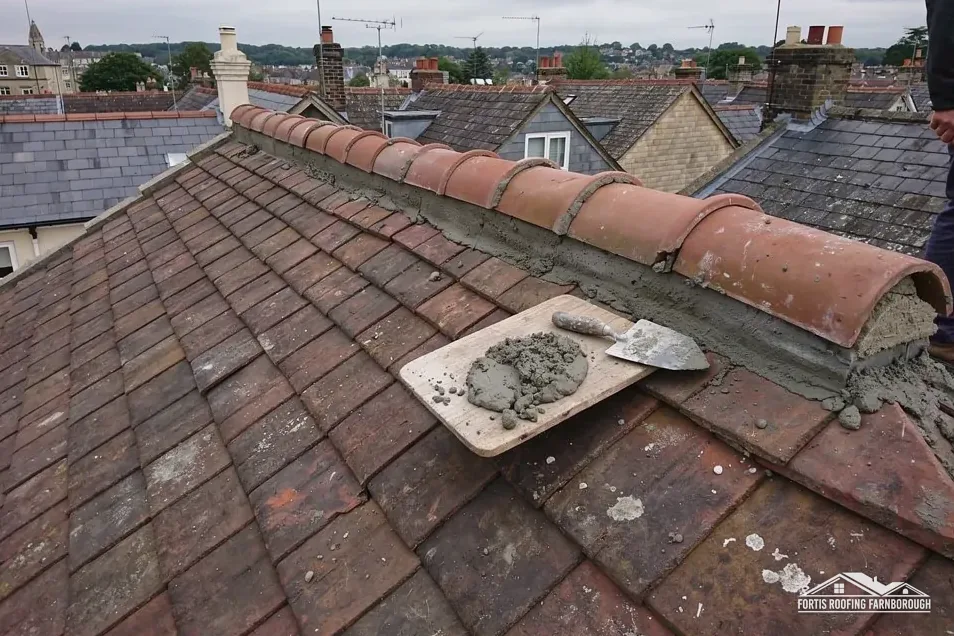
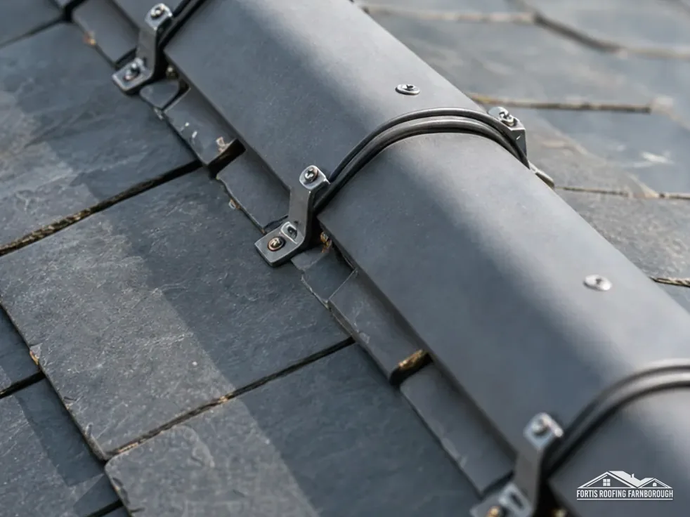
The verge is the edge of a roof at a gable end, where the slope stops and the wall rises. The East Hampshire conservation area leaflet describes Liss's Victorian pairs and terraces as having gable roofs whose wide verges cast strong shadow lines. A wide verge overhangs the wall, so it is a long, exposed edge: wind gets under it, rain runs along it, and ice can lift the bedding in winter. It has to be held down by something stronger than hope.
Approved Document C wants every tile fixed suitably, in its paragraph 6.8, and a verge is where that matters most. Traditionally a verge is bedded in mortar. Today dry verge units are clipped or screwed to the roof instead, and BS 8612 is the test specification for them. MyJobQuote puts a dry verge system between £500 and £2,000, a national guide that cannot see your gable. At the survey we check the fixing and the mortar along each verge by hand.
On a Victorian gable the bargeboard, the board running up the roof's edge, is often decorative. Rot enters at the foot of the board and at its joints, because water running down the verge lands there. We probe the boards with a bradawl, check the fixings behind them, and photograph any softness, so a repair replaces only what has failed and keeps the profile. Where a decorative board must be copied, we take a template from the original and agree the timber with you before it is cut, so the new board matches the old in section and detail.
A gable verge is high and at the edge of the building, so working on it safely needs scaffold or a tower beside it. Where the poles stand on a road or pavement, Hampshire County Council licenses them and makes the scaffolding company the applicant, which is why the programme allows for the paperwork before any date is promised.
Chapter 02 of 03
Liss in dates and figures from the records
The Victoria County History of 1911 describes the River Rother running through the middle of Liss, dividing it into East Liss and West Liss, with West Liss and its ancient church of St Peter on the Farnham to Petersfield road. East Hampshire's conservation area leaflet adds that the coming of the railway, together with land released under the Enclosure Act of 1845, moved the trading centre away from West Liss. Shops and houses then grew along the old tracks across Liss Common, including Station Road, Rake Road and Hillbrow Road. The 2021 Census counted 6,347 usual residents.
The leaflet says Victorian pairs and terraces of houses are the characteristic buildings of central Liss. A pair, which is two houses sharing one wall, has one roof with a shared ridge and one party wall under it, so a leak at the join can start from either side. The junction is recorded from our side, and we note what shows beyond it, so each owner has the same picture.
Glenthorne and Glenvillas on Hillbrow Road are described as a pair of ornamental Gothic-style cottages. Ornament on a roof means more joints: decorative barge details, finials, and tiles of unusual shape, each of which can hold water or work loose. Our lead roofing and lead work page covers the flashings behind such details, and we record every ornamental element before pricing.
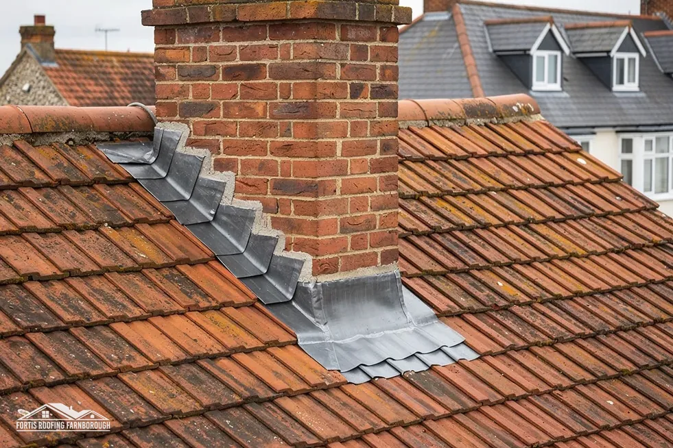
Lead behind such ornament is chosen by code. In Royston's brochure Code 4 (1.80 mm) serves soakers, flashings and dormers, while box and parapet gutters take the next weights up. MyJobQuote's guide gives chimney leadwork between £350 and £920, depending on the scaffold. Those are national figures, so your own total follows the survey, with the code, the length and the access measured.
Two dates
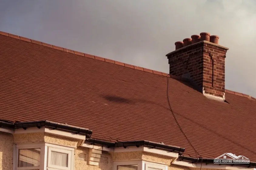
St Peter's church tower is built of dark-brown ironstone, topped by a timber stage with a low shingled octagonal spire, and in 1911 the church roofs were tiled. Spire coverings and tile roofs on a church are for the parish and its advisers, and any roofer working there follows their instructions. The leaflet adds that slate roofs or patterned banded plain tile roofs, with heavily stepped and corbelled chimney stacks, are among the shared details of the pairs and terraces.
Chapter 03 of 03
| Designation | At Liss | For roof work |
|---|---|---|
| National Park | South Downs National Park | Planning questions go to the Park Authority |
| Conservation area | Liss, designated 1990 | Changes to the look checked first |
| Grade II listed church in use | Church of St Mary (NHLE 1263858) | Faculty system |
| Grade II listed | Pophole Farmhouse (NHLE 1263904) | Listed building consent |
East Hampshire's records give 1990 as the year the Liss Conservation Area was designated. Inside it, and inside the National Park, anything altering a roof's appearance goes to the Park Authority's officers before it goes into a price. Whether any Article 4 direction touches your address is for the authority to confirm. Our planning permission for roof work guide lists whom to ask and what to send.
The national planning dataset maps Article 4 direction areas near Liss, at the Liss Business Centre on Station Road and at Pigeon Copse, and none is described as covering roofs. We confirm your own address with the authority before any change to a roof's look is designed. Hampshire's plan to replace its councils was withdrawn in September 2026, so East Hampshire and Hampshire County Council stay as they are.
St Mary's Church carries Grade II, and so does Pophole Farmhouse, both from 23 January 1986. St Mary's has an Anglican congregation, so its roof is dealt with by faculty, as it is for any church in regular use. The farmhouse needs listed building consent whenever its character would change, which sits apart from Building Regulations, and three listed buildings fall within 500 m of the centre, so each Liss address is checked against the list before pricing.

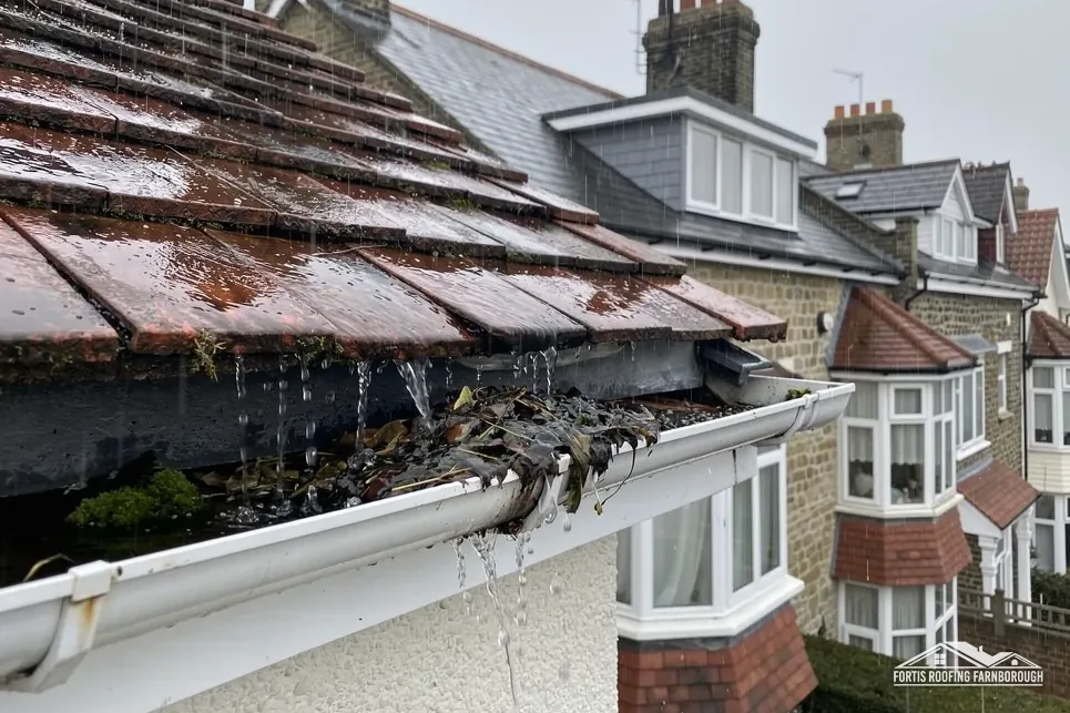
Gutters matter on a valley floor. Our gutters, soffits and fascias page covers the roofline, and the gutter makers' advice is a fall of 1 mm per 600 mm of run. A sagging run leaves water standing at the eaves, and on a Victorian pair with wide verges that water can reach the timber behind the bargeboard before anyone notices.
For scale, MyJobQuote's 2026 figures are about £650 for an average roof repair, typically £150 to £300 for an emergency call-out and £1,200 or more for extensive storm work. Those are national benchmarks. A Liss repair depends on the height, the access and the state of the timber behind the covering, and our one total follows the survey.
Whatever the status, a record is the foundation, and the record includes the weather, the date and the access used. Tile, ridge, verge, eaves and chimney details are photographed ahead of pricing, to be set against the finished repair.
A wide verge overhangs the gable wall, so wind gets under it and rain runs along it. Approved Document C expects every tile and section of roof to be fixed appropriately, and a verge is where that matters most. We check the bedding and fixings along each verge by hand and say whether a re-bed or a dry system suits.
No. The zone reflects the Rother valley floor and concerns water on the ground. It matters to ground floors and to insurance, not to the covering above. A leak from a roof is a weather problem and a matter of the covering, and we trace it from the loft and the slopes, not from the walls at ground level, and report what we find.
The Park Authority takes the planning role, not East Hampshire District Council, so any proposal altering how a roof appears goes to the Park's officers. East Hampshire runs building control. Restoring what exists is a separate question from altering it, and our pictures help with either conversation, so officers can see the roof without a visit.
St Mary's is Grade II, yet its Anglican congregation sends roof work to the faculty system and not to the Park Authority. Pophole Farmhouse, listed on the same date, calls for listed building consent whenever its character would change, and the roof work waits for that decision, which we raise with you early.
Get your free roof quote
Give us your Liss road and the fault; we survey the roof, photograph it, then quote once.
10-year workmanship guarantee, in writing.