Houses built since the 1870s
The 1911 Victoria County History says Hindhead was desolate forty years earlier, with many houses built since.

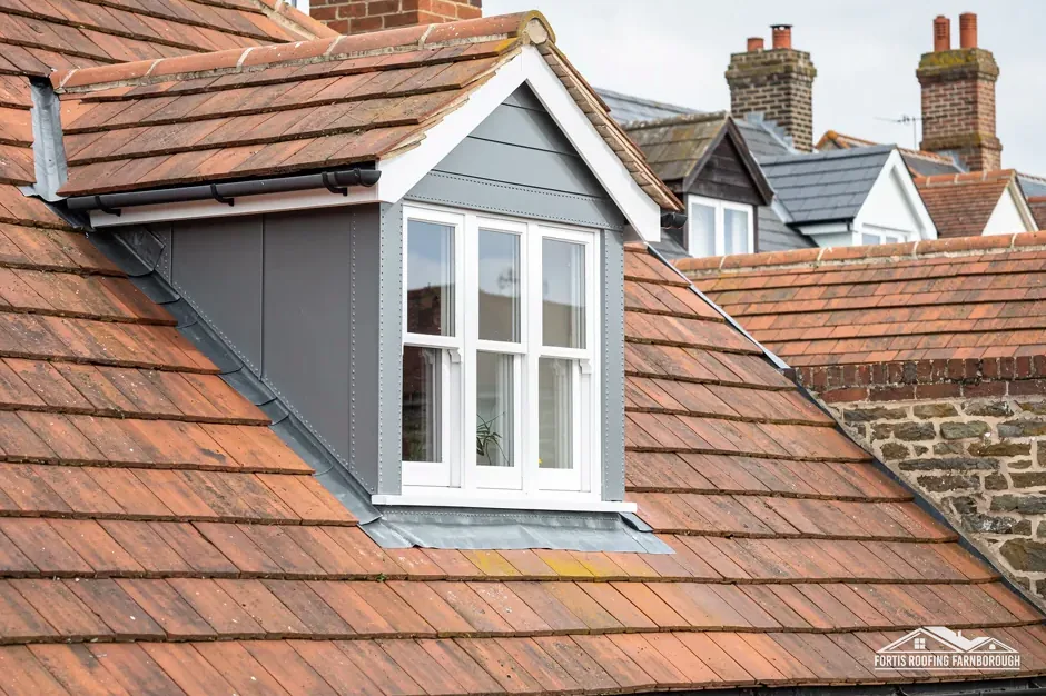
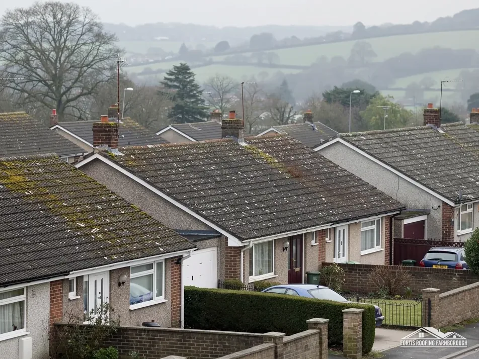
Roofs on the Greensand ridge above the Devil's Punch Bowl
Hindhead's houses went up after the 1870s along a ridge road beside the Devil's Punch Bowl. We survey every slope and check the Surrey Hills boundary against your address.
The 1911 Victoria County History says Hindhead was desolate forty years earlier, with many houses built since.
Heather Bank Cottage is a Grade II listed building, first listed on 19 September 1977 (entry 1272334).

Hindhead House and Hindhead Lodge are each listed Grade II, two of five listed buildings within about 500 metres.
Map of Hindhead with Grayshott, Haslemere, Churt, Bramshott marked around it.
Map data © OpenStreetMap contributors. Loads only when you ask for it.
Grayshott lies close by to the west, Haslemere to the south-east, Churt to the north-west and Frensham beyond it, with Bramshott and Liphook to the south-west.
About 18.9 road miles south of Farnborough · Waverley Borough Council and Surrey County Council.
Hindhead, ridge and national landscape
Where the Surrey Hills National Landscape boundary falls around Hindhead, what the 1911 county history says about the ridge and its first houses, and how the village's listed buildings are handled.
| No. | Chapter | The figure it turns on |
|---|---|---|
| 01 | Hindhead and the Surrey Hills boundary | 67 per cent inside the National Landscape |
| 02 | The ridge road, Professor Tyndall and the common | Road diverted in 1826 |
| 03 | Listed cottages, a chapel and the conservation areas | Four Grade II listings |
Chapter 01 of 03
Hindhead: place, people and designation
Hindhead is a village on the high Greensand ridge beside the Devil's Punch Bowl, north of Haslemere, and the 2021 Census counted 6,445 residents in its built-up area. Waverley Borough Council handles planning here, and its building control arm is Waverley Building Control. Roads belong to Surrey County Council until 31 March 2027, after which a new West Surrey Council succeeds it and Waverley alike.
The Surrey Hills National Landscape, formerly named an Area of Outstanding Natural Beauty, touches the village without wrapping it evenly, which makes the boundary worth checking house by house. The place point sits outside the boundary, yet about 67 per cent of a 1.5 km box drawn round it lies inside, on Natural England's boundary layer. In practice, some Hindhead homes are inside the designation and some are not, and the boundary can fall between neighbours.
That matters because the designation can change what planning allows when a roof is reshaped. Putting back the same covering on a house is a repair either way. A new dormer, or any work that reshapes the roof, is a different question, and the answer depends on whether your house is inside the line. The planning permission guide explains the rules, and our visit shows whether the question arises at all.
Waverley's own building control team offers plans checking and site inspections, and its page says you can book next day inspections if you ask by 4pm the day before. Waverley states no re-roofing share, so we go by the Planning Portal: building control normally expects no application while the work stays under 25 per cent of the building envelope and under 50 per cent of the roof.
A house on a slope changes the access plan. Scaffold must be stepped to the ground, the lane outside may be narrow and the licence, where scaffold stands on the highway, comes from Surrey County Council. Where the licence is needed, the dates depend on it. We look at all of this at survey and write the dates down only once the access is settled, so a start date is never a guess.
Chapter 02 of 03
| Subject | What the 1911 history records |
|---|---|
| The ridge road | Climbs over 2 miles from Thursley Common to the top of Hindhead |
| Height | 903 ft, or 895 ft by another survey |
| The old road | Higher up the slope; diverted in 1826 |
| The spot, c. 1870 | Desolate; the old Royal Huts inn and two or three cottages |
| The summit and common | Bought in 1905 by subscribers for the Commons Preservation Society |
| Residents today | 6,445, ONS Census 2021, Hindhead built-up area |
The Surrey volume of 1911 describes the London to Portsmouth road rising over two miles from Thursley Common to the top of Hindhead, a summit it gives as 903 feet, or 895 feet by another survey. The road winds along the edge of the Devil's Punch Bowl, and the old road higher up the slope was diverted in 1826.
The same volume says the spot was still desolate about forty years earlier. The old Royal Huts inn and two or three cottages were the only houses, but since then, with Professor Tyndall leading the way, many houses had been built. In 1905 the summit and the open common to the north were bought by subscribers for the Commons Preservation Society and kept as open space.
That history is short. The village people see today was built within a few generations, and the 1911 account says houses were still being added. A house from the 1880s or 1890s is around 130 years old, and one from later is younger.
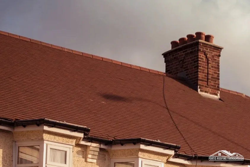
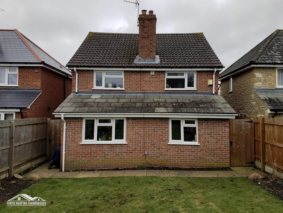
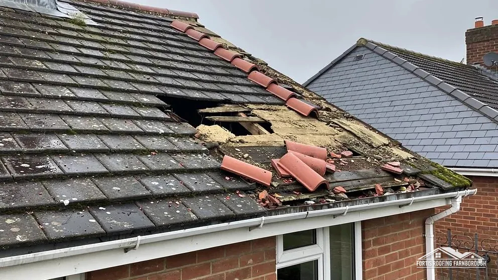
Whatever they are covered with, the way roofs of that age behave is well understood. Ridge bedding perishes. Valley linings and flashings that were new when a house was built are now old, and the published lives of felt and many linings are far shorter than a century. The tiles may be sound while the underlay beneath has dried and split, and only a lifted sample shows which. Where nothing is lifted, nothing can be promised, so we photograph the underside wherever the access allows.
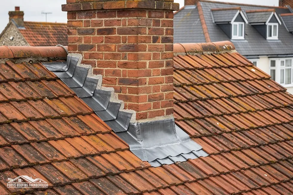
A survey therefore starts at the details rather than the covering. We photograph each valley, the flashings round each stack and every junction with a wall, then look at the underlay where a few tiles can be lifted. A house with a long run of gutter under trees gets extra attention, because that is where blockages begin.
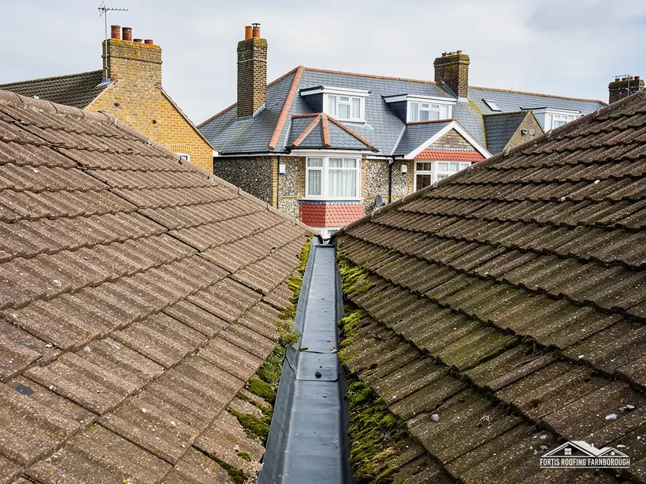
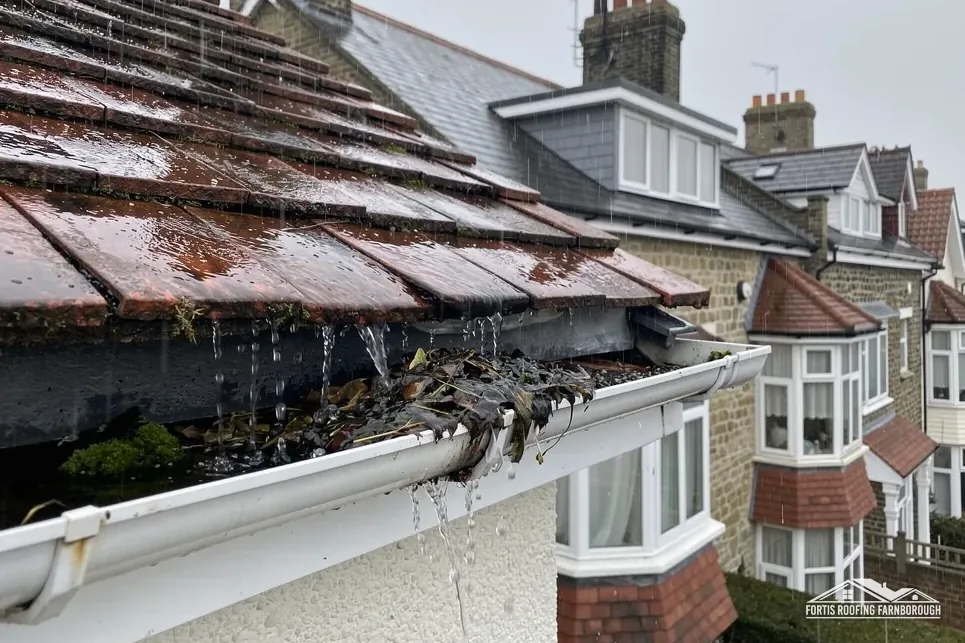
Houses beside woodland add leaf litter to gutters. A gutter that is full of leaves overflows at the first heavy shower, and the overflow stains the wall below and rots the fascia behind. We clear and photograph outlets as part of the visit.
Chapter 03 of 03
Hindhead's listed buildings
Heather Bank Cottage, Hindhead House, Hindhead Lodge and the United Reform Church are each listed Grade II, and five listed buildings stand within about 500 metres of the village centre. A listing does not remove permitted development rights, but work that alters a listed building's character also needs listed building consent, and that is sought before work begins.
For the United Reform Church, the route depends on current use. While it is a United Reformed Church in use, the ecclesiastical exemption sends works through that denomination's own approval system. If it has ceased to be a church, listed building consent from Waverley applies instead, and its owners will know which.
The national dataset names Grayshott and Haslemere as the nearest conservation areas, within about 2.5 km. Grayshott lies across the county boundary in East Hampshire, and Haslemere is in Waverley. Waverley says it has 44 conservation areas, listed by parish, and its map is the place to check a given address.
Guesswork is no use here. For any address that might be inside one, we put the question to the relevant council before pricing a change that alters how the roof looks, and pass you the reply. The same applies to the Surrey Hills line described above.
Where a house sits near the county boundary, the council that matters can change from one side of a lane to the other: Waverley for Hindhead and Haslemere, East Hampshire for Grayshott. We check which council's planning team to ask, and which highway authority licenses scaffold on the road outside, so nobody is chased for a form that belongs to the neighbouring county.
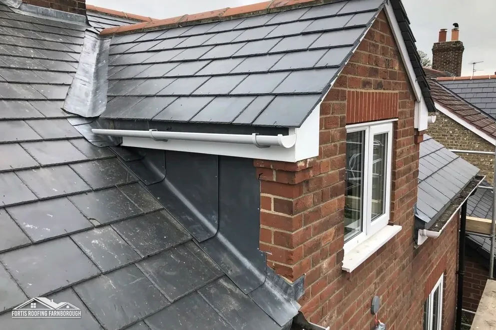
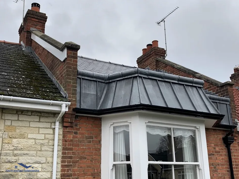
Older houses often have lead in valleys, flashings and round stacks, and the lead is among the first things to be repaired. In Royston's cast-lead brochure, code 4 is matched to soakers, flashings and pitched valleys, while code 5 also covers box gutters. A code is a thickness and weight, so a heavier code gives a valley more metal to wear through. On a listed roof we match the code to the position and record it, so the repair can be checked afterwards against the notes.
Our lead roofing and leadwork page explains how valleys and flashings are renewed, and the pitched roofing page covers tile repairs.
It changes the access far more than the repair. Scaffold on a slope has to be stepped and braced down to the ground, and a narrow lane may limit where it can stand. We look at the plot during the visit, plan the access with you and give the dates and the one written price afterwards, with the photographs of the plot beside them.
Partly. About 67 per cent of a 1.5 km box drawn round the village lies inside the boundary, though the village point itself sits outside. So some homes are in and some are out, and the line can run between neighbours. We check your address against it before pricing any alteration to the roof's shape, and we keep the result with your survey notes.
They can. Waverley says you can book a next day inspection if you ask by 4pm the day before, so a stage that needs a visit need not wait long, and the date goes into the programme we give you. A patch repair needs none at all, and for a larger job we explain which stages Waverley or a private approver would inspect, and when.
Surrey County Council, as highway authority, until 31 March 2027, when West Surrey Council takes over. Who files the application is not stated on the council's page, so we settle it jointly with the scaffolding firm before any date is fixed. A scaffold standing entirely on your own land is a separate matter, and we explain which case yours is when we hand over the written price, so the licence question is closed before the scaffold arrives.
Get your free roof quote
Tell us your Hindhead road and what has gone wrong; we will visit and check your address against the Surrey Hills line.
10-year workmanship guarantee, in writing.