
Brick and timber houses
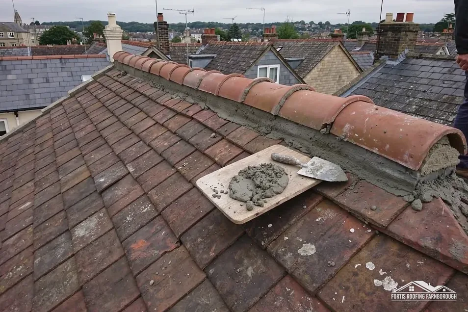
In 1923 the county history found some old brick and timber houses along the road beside the Kennet.
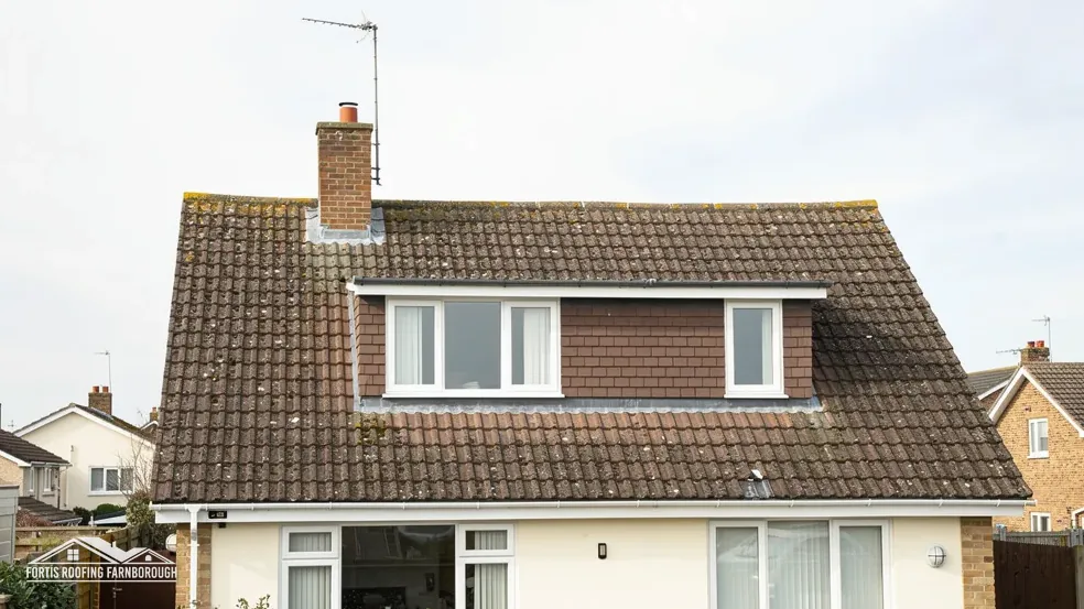
Roofs beside the Kennet, from old timber houses to an abbey
Woolhampton lies on the old Newbury to Reading road beside the Kennet, with brick and timber houses and a Benedictine abbey. We survey each roof first.
In 1923 the county history found some old brick and timber houses along the road beside the Kennet.
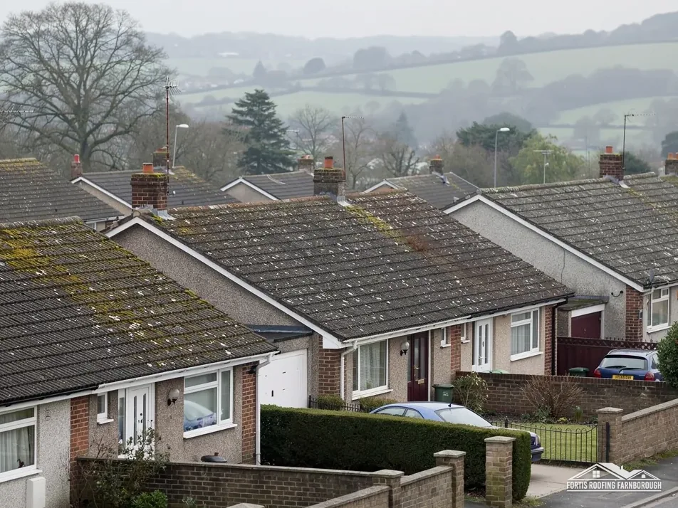
St Peter's church stands on a hill to the north of the village, above the road.

A Roman Catholic school of 1833 was taken over in 1903 by Benedictines expelled from Douai.
Map of Woolhampton with Aldermaston, Beenham, Tadley, Pamber Heath marked around it.
Map data © OpenStreetMap contributors. Loads only when you ask for it.
Woolhampton is a village on the A4 between Newbury and Reading, beside the River Kennet, and Farnborough lies 29.3 road miles to the east of it.
About 29.3 road miles west of Farnborough · West Berkshire Council (unitary).
Woolhampton, churches and consent
How the route to consent differs for an Anglican church, a Catholic abbey, a chapel and a house, what the 1923 county history says of Woolhampton, and what its conservation area and Downs edge ask of a repair.

| No. | Chapter | The figure it turns on |
|---|---|---|
| 01 | Churches and chapels: which consent route | Route depends on denomination |
| 02 | A river road, a hill church and a school | Benedictines took over the school in 1903 |
| 03 | A conservation area, listed houses and the Downs edge | Downs edge covers 2 per cent |
Chapter 01 of 03
| Building | Approval route |
|---|---|
| Church of England church in use | Faculty system, not listed building consent |
| Roman Catholic, Methodist, URC or Schedule 1 Baptist church in use | The denomination's own system |
| Unitarian or Quaker building, other denominations | Listed building consent |
| Churches Conservation Trust or closed church | Listed building consent |
| Scheduled monument | Scheduled monument consent |
Woolhampton is an unusual village for a roofer, because it has an abbey as well as parish houses, and religious buildings follow different rules from homes. West Berkshire Council plans for the village and Building Control Solutions handles building control, but for a church or monastery in use the first question is a different one: which body gives consent?
Section 60 of the Listed Buildings and Conservation Areas Act 1990 lifts listed building controls from an ecclesiastical building that is for the time being used for ecclesiastical purposes. The 2010 Order narrows that to buildings of certain denominations. Anglican churches in use are handled by the faculty system, which has its own officers and procedures. Roman Catholic, Methodist, United Reformed and Schedule 1 Baptist churches in use have systems of their own. Government guidance says no other faiths currently benefit, so Unitarian and Quaker buildings and others need listed building consent, and so do closed churches and Churches Conservation Trust buildings.
Douai Abbey began as a Roman Catholic school founded in 1833, where Benedictines expelled from Douai re-established their abbey in 1903. While its church is in use for worship, any roof work is settled within the Catholic Church's own approval process, not by the council. We would never price such work without first asking that system what it needs, and we follow its answer.
Scheduled monuments are a separate matter again. The Ancient Monuments and Archaeological Areas Act 1979 makes works to a scheduled monument an offence unless they are authorised, with consent coming from the Secretary of State. We check the national list for any scheduled monument near a job, and the rule is worth knowing if a field or earthwork lies near your property, and we would stop work and ask rather than risk an offence.
An ordinary house is simpler: a repair, or a re-roof once the survey is done and one written price is agreed. Our job is to find out which of these routes applies before a roof is touched, and to tell you, with the source, so that nobody pays for work that is later stopped.
Chapels and meeting houses in a village this size are easy to overlook. If your property was once a chapel, or stands beside one, tell us at the survey, because the former use can affect which route a roof repair takes.
Chapter 02 of 03
Woolhampton's road, abbey and parish, in figures
The Victoria County History of 1923 describes Woolhampton as a village on the Newbury to Reading road beside the Kennet, containing some old brick and timber houses, with St Peter's church on a hill to the north. Douai Abbey began as St Mary's College, a Roman Catholic school founded in 1833, and the Benedictines expelled from Douai in 1903 took it over and set up their abbey and school there anew.
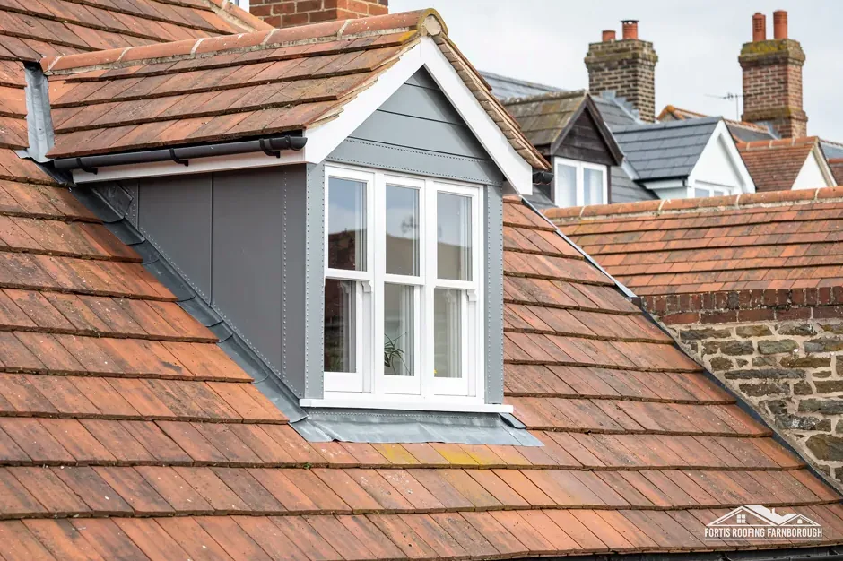
An old brick and timber house is a mixed structure. The brick is stiff, the timber moves, and the roof sits across both. Where a tiled roof meets a timber-framed wall, the junction is where water gets in first, so we look at the flashings, the bargeboards and the wall plate beneath. The bargeboard is the board that finishes a roof's edge at a gable. The history does not describe the roofs, and we do not guess; we find out on the survey.
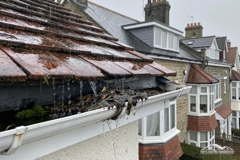
A site that has grown by additions, as an abbey and school have since 1833 and 1903, will have several roofs of several ages in one complex. Valleys between wings, parapet gutters and flat sections on later additions are all places where leaks start. A survey of a complex site separates each section and gives each its own notes, and its own photographs.
The 2021 Census counted 918 usual residents in the parish, so Woolhampton is a village, and houses beside the A4 live with its traffic. Scaffold on the road side is a serious matter, and the highway authority licenses it. It needs the licence that section 169 of the Highways Act 1980 provides for, and we plan it around the carriageway, the verge and the neighbours' access.
Houses by a river may also have damp problems that look like roof leaks. The survey follows the water to its source, which is sometimes a gutter or a wall and not the covering at all, and it says so plainly.
Parish and abbey
Because the A4 is a main road, deliveries are timed and the lorry's position agreed with you beforehand, so the road is never blocked and your drive stays clear. Skips and waste sacks are placed on your land where possible, and removed as the work finishes.
Chapter 03 of 03
| Record | In Woolhampton | For roof work |
|---|---|---|
| Conservation area | Woolhampton, within about 0.75 km of the centre | Matching repairs; ask West Berkshire about changes |
| National Landscape edge | North Wessex Downs, partly: 2% of the 1.5 km area | Ask West Berkshire about dormers at your address |
| Grade II listed | Bow Cottage (NHLE 1117262); Brook House (NHLE 1117261) | Listed building consent for work affecting character |
| Grade II listed | Brook Lawn (NHLE 1117260) | The same consent route |
The Woolhampton conservation area lies within about 0.75 km of the village centre, and West Berkshire Council holds the boundary. Inside the area, like-for-like work respects the designation, and the council should hear of any different covering before it is chosen. The council also decides whether an Article 4 direction applies to your address. Our planning permission and roof work guide explains how repair differs from alteration.
Bow Cottage, Brook House and Brook Lawn each have a Grade II listing, and twelve listed buildings stand within 500 metres of the village centre. Bow Cottage was first listed on 9 September 1969, and its National Heritage List entry can be read online by anyone. Permitted development survives listing, but work that touches a listed house's character requires listed building consent, which we raise with the council before pricing.
Only about 2 per cent of the 1.5 kilometre area around Woolhampton falls inside the North Wessex Downs National Landscape, and the place point itself is outside. If your own house lies in the designated part, read our planning guide before drawing up any roof extension, and ask West Berkshire first. Most of the village lies outside, but the council's map settles it street by street. Where a house is on the edge, the survey notes record the boundary position, so that a later application is simple.

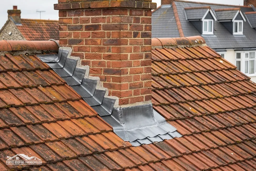
Older houses are photographed with dates, at ridges, valleys, chimneys and flashings, before and after the work. You get a copy with the written price. See lead roofing and lead work for the valleys and flashings between wings, and chimney repairs for stacks.
Owners of the listed houses should have the roof looked at before planning any other change, so that the council can be shown the roof's present state. A conversation about the roof now can shape what the council expects of a later extension, and a record made today is useful to the next owner as well.
Valleys and chimneys are where many listed-house roof jobs begin, and we describe both in the survey with a sketch plan, so that the council can follow the proposal without visiting. The plan marks every slope, hip, valley and stack, with the covering noted on each.
With attention to the junctions. Brick is stiff, timber moves and the roof sits across both, so the joint where tiles meet the wall opens first. We look at flashings, bargeboards and the wall plate beneath, repair what has failed, and photograph the findings so that you can see where the water was getting in.
While worship continues in the church, its roof is decided within the Catholic Church's own process rather than by the council, because Douai is a Benedictine, Roman Catholic community. A building no longer used for worship, or of a faith not covered by the exemption, would go to the council instead.
The dataset puts Woolhampton's conservation area inside about 0.75 km of the centre, so your street may fall within it. The boundary map is West Berkshire Council's, and it can say whether an Article 4 direction applies. Matching materials are the easy case, and any switch of covering is one to take to the council first.
Only at the edge. Around 2 per cent of the 1.5 km area near Woolhampton is inside it, and the place point is outside, so your street decides, and West Berkshire Council's map settles it. Where a house is inside, an alteration such as a dormer is checked first, while repairs carry on as normal.
Get your free roof quote
Tell us your Woolhampton address and the signs you have seen, stains or slipped tiles, and a visit will follow.
10-year workmanship guarantee, in writing.