Upper Sunbury's station terraces
The 1962 county history found terraces and semi-detached houses in Upper Sunbury, the district that grew round the station.

Upper Sunbury's station terraces and Lower Sunbury's riverside streets
Sunbury spread across the parish in the 20th century, with the 1915 railway electrification pulling Upper Sunbury round its station. We survey those terraces and riverside houses slope by slope.
The 1962 county history found terraces and semi-detached houses in Upper Sunbury, the district that grew round the station.

Lower Sunbury has its own conservation area, and Thames Street carries Grade II listed buildings needing the right consent route.
Outside Upper Sunbury, the 1962 history counted the modern buildings as small detached houses and bungalows.
Map of Sunbury-on-Thames with Upper Halliford, Walton-on-Thames, Shepperton, Hampton marked around it.
Map data © OpenStreetMap contributors. Loads only when you ask for it.
Upper Halliford lies to the south-west, Walton-on-Thames to the south, Shepperton to the south-west, Hampton and the Moleseys to the east, and Feltham to the north.
About 20.3 road miles north-east of Farnborough · Spelthorne Borough Council and Surrey County Council.
Sunbury, rail and river
Which councils stand behind a Sunbury roof job, how the railway and the Thames shaped the houses, and what the listings and the conservation area mean when a roof needs work.
| No. | Chapter | The figure it turns on |
|---|---|---|
| 01 | Spelthorne plans, Surrey licenses the scaffold | 25 per cent of the envelope |
| 02 | How the railway and the river built Sunbury | 20.3 road miles from Farnborough |
| 03 | Lower Sunbury's conservation area and its listed buildings | Grade II* St Mary's, Grade II Thames Street |
Chapter 01 of 03
| Role | Body for Sunbury addresses |
|---|---|
| District council and planning authority | Spelthorne Borough Council |
| Building control | Spelthorne Borough Council's own Building Control team |
| County council and highway authority | Surrey County Council (until 31 March 2027) |
| Scaffold licence on the highway | Surrey County Council, charged per 28-day period |
| From 1 April 2027 | West Surrey Council replaces Spelthorne and Surrey County Council |
Spelthorne Borough Council holds the planning decisions for Sunbury, and it staffs its own Building Control team. The pavements and carriageways belong to Surrey County Council. Measured from the A325 at Farnborough, Sunbury is 20.3 road miles away, bearing north-east, which is why each visit is built around access: where the van parks, where the ladder stands, where a scaffold could go. Minor repairs reached by ladder rarely involve the highway, which keeps them simple, quick to arrange and easy to explain.
The Planning Portal gives the test. A re-roof stays outside the application route while under 25 per cent of the building envelope and under 50 per cent of the roof are involved. A few refixed tiles or a re-bedded ridge sit far inside that, whereas stripping and re-covering a whole slope does not. Separately, a new covering at least 15 per cent above the old one's weight needs approval whatever area it spans, and the portal advises having a structural engineer or surveyor check the roof first. Close calls go to Spelthorne's team before we commit to any date, and we tell you what they say.
An application may be made to the council, or instead to a registered building control approver, a private firm under the regime begun on 6 April 2024. Whichever you pick, the first thing asked is how much roof is being worked on, and the report we leave you states the area of each slope.
Surrey County Council licenses scaffold that stands over a pavement or in the carriageway. The charge is £208 for each 28 days, and the application should be in at least 10 working days before the start, so any date you are offered already carries that delay. Where the scaffold would stand wholly inside your own boundary, the council's licence is not in play. We fix the scaffold's position during the survey, and the paperwork is handled with the firm that erects it.
West Surrey Council takes in Spelthorne on 1 April 2027. Until that day the county council expects business as usual, so a job booked now follows the arrangements in the table.
Chapter 02 of 03
Sunbury in four published figures
The Middlesex county history sets out how Sunbury filled in. During the 20th century building spread over much of the eastern half of the parish and along the river, helped by the railway electrification of 1915, and Upper Sunbury around the station became the parish's centre. The 2021 Census counted 21,476 usual residents in the Sunbury-on-Thames built-up area. The history was written in 1962 and describes the late 1950s, so we treat it as a record of how the streets began, not a survey of what stands today.
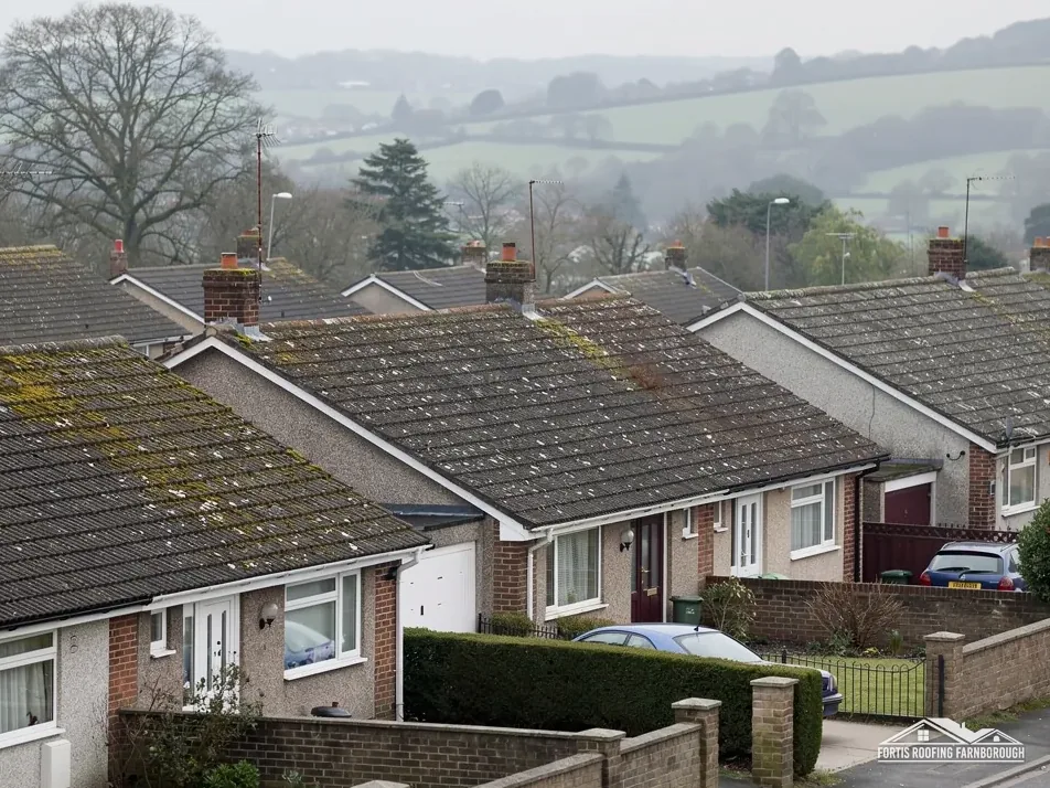
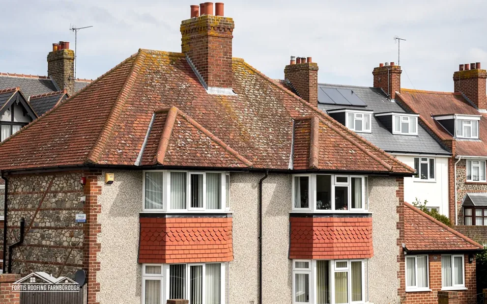
By 1962 the history found terraces and semi-detached houses in Upper Sunbury, with small detached houses and bungalows among the modern buildings elsewhere, and it counts 996 council houses and flats in 1957. Each type brings its own work, and each is surveyed that way, never assumed. A terrace shares ridge, party wall and gutter runs with its neighbours, so trouble on one house can show in the next, and we photograph those joins. A bungalow's long, low roof leans on its valleys and hips to move water, which makes the lead and bedding along them our first stop.
Any flat-roofed extension or garage tacked onto either type is inspected separately, because falls and upstands age on their own timetable, not the pitched roof's. Nothing in the record says what covers any house today, or how many times it has been re-covered, because coverings were renewed house by house over the decades. So the survey notes what lies on each slope, what sits under it wherever a tile can be lifted, and how the flashings look. That record, not a guess from the street, is what we price from. Our pitched roofing page describes how coverings are repaired and replaced.
The history also describes the ground: gravel and brick-earth, dropping from a little below 50 ft in the north to 25 ft by the Thames. In a low riverside town the gutters and downpipes get a lot to do, so every Sunbury survey checks outlets, joints and falls, and any run that holds water is photographed and logged, with its position marked on the report so the fault is easy to find.
Chapter 03 of 03
| Designation | In Sunbury | For roof work |
|---|---|---|
| Conservation area | Lower Sunbury | Changes to the look checked with Spelthorne |
| Grade II* listed church | Church of St Mary the Virgin (list entry 1029661) | Use and denomination decide the consent route |
| Grade II listed | 10 Thames Street (list entry 1377683) | Listed building consent for works affecting character |
| Grade II listed | 16, 18 and 20 Thames Street (list entry 1029641) | Listed building consent for works affecting character |
| Article 4 direction | None listed in the sources read | Check with Spelthorne Borough Council |
The national planning dataset records the Lower Sunbury Conservation Area, and the 1962 county history described Thames Street, at what it called Lower Sunbury, as still predominantly Georgian in character. Repairs still go ahead inside it, but the appearance of a roof becomes something the planners care about. Under section 55(2)(a) of the 1990 Planning Act, works that leave a building's exterior materially the same do not count as development. A new covering material, a shifted ridge line, a moved chimney or a roof window can all alter that exterior, so those proposals reach Spelthorne's planning team before any price is quoted.
Historic England lists 10 Thames Street at Grade II, and 16, 18 and 20 Thames Street are Grade II as well. Re-covering a roof or altering a stack on a listed house can need consent from the council even where the same repair elsewhere would not, because the consent covers works affecting the building's character. Permitted development rights survive the listing but sit beside that requirement. Our planning permission guide shows how the routes fit together. The survey for a listed house records the covering, the ridge and hip details, the verges and the chimneys, and the report reaches you before any application is made.
St Mary the Virgin's church is listed Grade II*, and no work on it would be priced until its route is settled. We would ask the parish which denomination worships there and if services are regular, before anything else. If the congregation is Anglican and active, the faculty system replaces listed building consent; a closed building, or another denomination, may be handled differently.
For ordinary homes inside the conservation area the work matches work anywhere, with a fuller file behind it. Lead flashings are renewed in the right code, slipped tiles are refixed, and ridges are re-bedded or dry-fixed, with the original details photographed first so a repair can be shown to follow them. Our chimney repairs page covers stacks, flaunching and flashings, the parts of a roofline that show most from the street. Inside the conservation area we also note which of them are visible from the road, because the planners look there first, and we send you those notes with the rest of the report, so that your own file matches the council's view.
Under section 55(2)(a) of the 1990 Planning Act, works that leave a building's exterior materially unchanged fall outside the definition of development. Swapping a covering or reshaping a ridge can alter the look, so on a house in Lower Sunbury's conservation area we consult Spelthorne's planners before any price is written.
Consent covers works touching a listed building's character. A change of covering or an altered chimney can do that; a very small like-for-like patch might not. We put the question to Spelthorne Borough Council before pricing, with photographs showing the council what lies on the roof, slope by slope.
Surrey County Council issues the licence for £208 per 28-day period, expecting the application no later than 10 working days before the start. The survey visit is where we settle it with the scaffold firm, so the start date you hear already allows for that notice. A private drive needs no highway licence, because the council's page covers the public highway only.
On 1 April 2027 Spelthorne is absorbed into West Surrey Council, ending Surrey's current county and district arrangement. Until then the county council expects services to carry on. Note which council any notice or licence names, and put a copy beside the quote and photos, ready for any later query.
Get your free roof quote
Write to us with your Sunbury street and a note of the problem, and we will line up the survey.
10-year workmanship guarantee, in writing.