
Steep clay plain tile
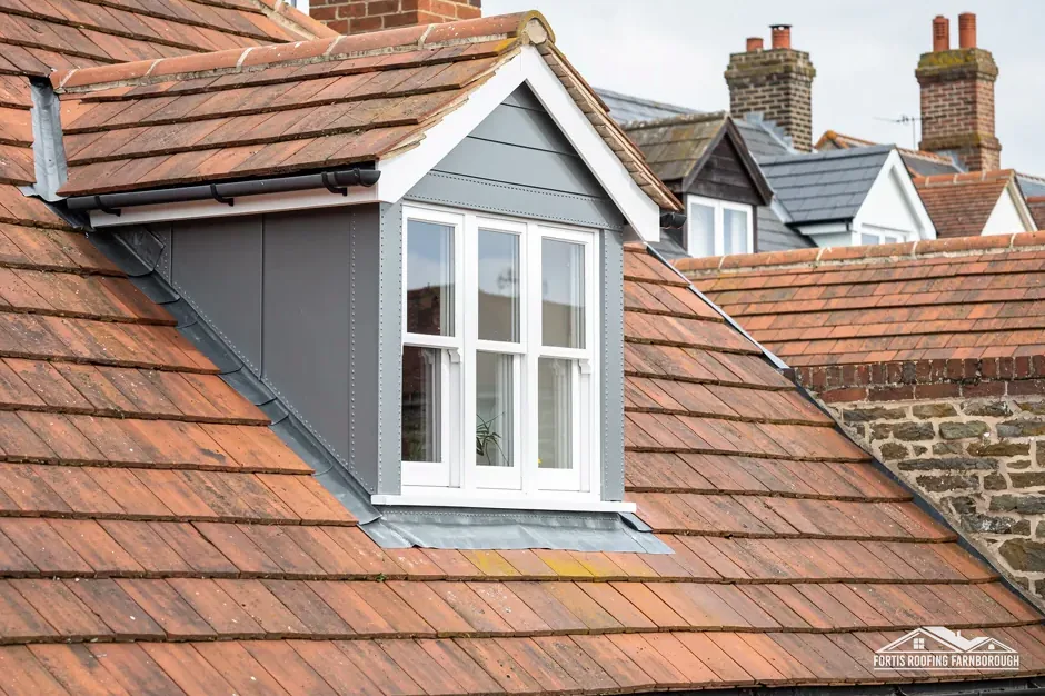
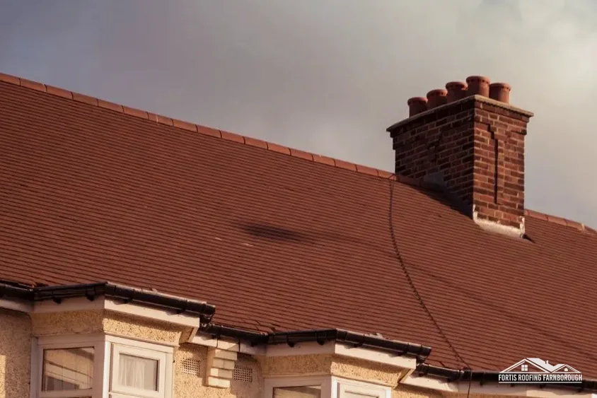
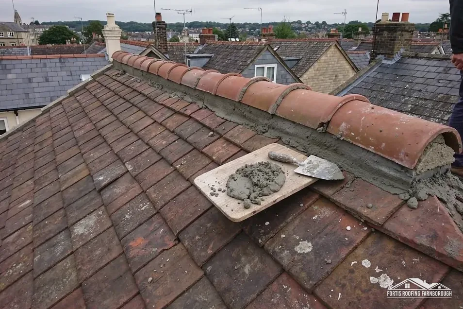
The appraisal describes steep clay plain-tile roofs, varied by gables, hips and half-hips, across the conservation area.

Steep clay plain-tile roofs on a ridge beside Petworth Park
Petworth's conservation appraisal describes steep clay plain-tile roofs, varied by gables, hips and half-hips, in a market town inside the South Downs National Park.
The appraisal describes steep clay plain-tile roofs, varied by gables, hips and half-hips, across the conservation area.
A weekly market is first recorded in 1279, and the town sits on a ridge above the Rother valley.
Sacred Heart on Angel Street, built in 1896 by F.A. Walters, is a greensand church with stone and flint panels.
Map of Petworth with Kirdford, Northchapel, Plaistow, Ifold marked around it.
Map data © OpenStreetMap contributors. Loads only when you ask for it.
Petworth is a market town on a ridge above the Rother valley, beside Petworth Park, and Farnborough lies 29.9 road miles away to the north.
About 29.9 road miles south of Farnborough · Chichester District Council and West Sussex County Council.
Petworth, roof shapes and the Park
What gables, hips, half-hips and valleys mean for a repair, how a market town of 1279 and a 1971 conservation area shaped Petworth, and what National Park status and 190 listed buildings ask of a roof job.
| No. | Chapter | The figure it turns on |
|---|---|---|
| 01 | Gables, hips and half-hips: what the shapes mean | Every roof shape adds a joint |
| 02 | A ridge market town since 1279 | Weekly market first recorded in 1279 |
| 03 | Two Grade I landmarks and the National Park | 190 listed buildings within 900 m |
Chapter 01 of 03
| Shape | What it is | Where a leak can start |
|---|---|---|
| Gable | A roof end cut off square, with a wall rising to the ridge | The verge, where tiles meet the wall |
| Hip | A sloping ridge where two slopes meet at an outside corner | The hip tiles and the ridge end |
| Half-hip | A gable with its top cut back into a short hip | The small hip and the gable below it |
| Valley | A sloping channel where two slopes meet at an inside corner | The lead or tiles lining it |
The South Downs National Park Authority's character appraisal for Petworth describes steep clay plain-tile roofs, varied by gables, hips and half-hips. The table explains each shape in plain terms, because every shape adds a joint, and joints are where roofs leak.
A plain gabled roof has two slopes, a ridge and two verges. Add a hip and you add a sloping ridge with its own tiles and ends. Add a half-hip and the gable acquires a small hip on top. Valleys appear where wings meet. A Petworth roof that is varied by all of these has many junctions in a small area, and a leak at one can appear in a ceiling some way off.
That is why our survey records the shapes first, with a sketch plan and photographs of every junction. We then work through them one at a time: tiles, fixings, lead, and the wall or chimney beside each. A roof of this kind takes longer to survey than a plain one, and the price we write reflects the measured work.
A steep roof sheds water quickly. Each plain tile is small, and plain tiling is double-lapped, so every point on the slope is covered by at least two thicknesses of tile; a tile is held on its batten by two nibs, and the maker's fixing specification sets out which tiles also need a nail or clip. We lift a tile to check the fixings, and record how many are nailed, which tells us how a roof was laid.
Planning for Petworth belongs to the Park Authority, and building control to the district: Chichester District Council, with West Sussex County Council above it.
Where a hip meets the ridge, the last tiles are held by a ridge end or a cap, and that is a spot we check closely. A loose cap lets wind-driven rain in and can lift in a gale, so we refix it with a mechanical fixing and photograph the result.
For a half-hip on a cottage, the small hip is often only a few tiles wide. It is easy to overlook from the ground, and we climb to look at it rather than judge it from a photograph.
Chapter 02 of 03
Petworth's town and designation, in published figures
The appraisal records the conservation area's history in some detail. Petworth was first designated a conservation area by West Sussex County Council on 6 September 1971. Chichester District Council reviewed it in 1999 and adopted an appraisal in November 2000, and the National Park Authority became the planning authority in April 2011. A weekly market is first recorded in 1279, which makes Petworth a trading town for more than seven centuries.
More than five decades of conservation-area status means Petworth's roofs have been under planners' eyes for a long time. A town that has been looked at that closely tends to have a record, and we use it. The appraisal's description of the town's roofs is our starting point for matching, though it cannot tell us what any single house carries, so every slope is photographed and named.
The 2021 Census counted 3,049 usual residents in the parish. On Angel Street stands the Sacred Heart Catholic church of 1896, designed by F.A. Walters. Greensand is a local sandstone, and flint and stone laid in squares make the chequer panels in its walls. A building with walls like that needs flashings and verges that suit the stone, and lead set into the joints.
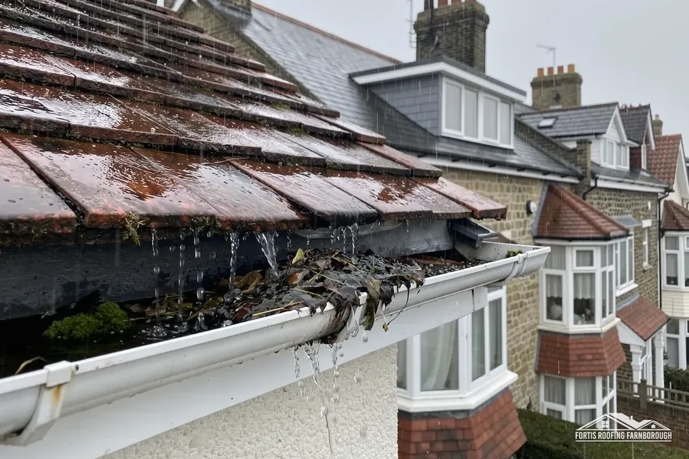
Houses beside a great park and above a river valley need their gutters and downpipes in good order, since these carry what the roof sheds. We flow-test every run with water and photograph the outlets.
If a Petworth roof joins a neighbour's, our camera records the junction from our own side, and we describe what shows. The talk with the neighbours is yours to have, using the same images.
Market and designation
Because the town has been designated for so long, and has an appraisal that sets out what matters, many houses already have a planning history of their own, held in the planning authority's records. We simply ask that you tell us at the survey of any earlier consents or letters, because they show what has been agreed for the house before, and they save the planners asking the same questions twice. A copy of an old consent, even a decades-old one, is useful to have.
Chapter 03 of 03
| Record | In Petworth | For roof work |
|---|---|---|
| National Park | South Downs, all of the 1.5 km area | Park Authority plans; see our planning guide before a dormer |
| Grade I listed church in use | Parish Church of St Mary (NHLE 1224199) | Church of England faculty system |
| Grade I listed | Petworth House (NHLE 1225989) | Listed building consent for work affecting character |
| Grade II* listed | Avenings (NHLE 1224444); Daintrey House (NHLE 1266902) | The same consent route |
| Roman Catholic church in use | Sacred Heart, Angel Street | The Catholic Church's own system |
Every part of the 1.5 kilometre area around Petworth, 100 per cent in the national dataset, falls within the South Downs National Park. Planning is the Park Authority's job, and building control remains with the district council. A dormer is for the Park Authority's planners to consider, and a plain roof window usually is not, so we check both with you before drawings are made. Our planning permission and roof work guide explains what changes.
Petworth House and the Parish Church of St Mary are both listed Grade I, from 22 February 1955. The congregation at St Mary's is Anglican, and the faculty system therefore governs its roof. The Sacred Heart church is Roman Catholic, and for as long as services continue there its roof is for the Catholic Church's own process to decide, with no council consent involved. Petworth House is not a church, so listed building consent applies, sought from the planning authority, which here is the National Park Authority.
A hundred and ninety listed buildings stand within 900 metres of the centre, including Avenings and Daintrey House at Grade II*. That is a great many, and it makes a repair in matching materials the sensible default in Petworth. Work altering the character of any listed building calls for listed building consent.

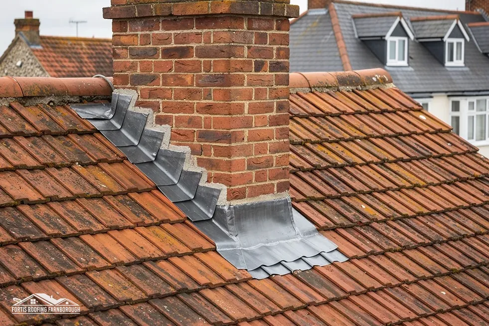
Our pitched roofing page explains how clay tile roofs are repaired, and chimney repairs covers the stacks that rise from varied roofs. A dated photographic record of ridges, hips, valleys and stacks is made before and after any job.
When a roof change goes to the National Park Authority, an accurate description of the existing roof helps. Our survey notes use the language of planners: covering, pitch, ridge, hip, verge and valley, with measurements, and they save a second round of questions.
If you plan a larger project, such as a loft conversion or extension, mention it early. The roof's present form decides what can be built, and we can describe it for the architect.
A scaffold frame that stands over a Petworth road or footway falls under the licence in section 169 of the Highways Act 1980, and it is laid out around shop windows, doors and the pavement's users.
At the small hip, its ridge end and the junction with the gable below, because a half-hip adds three joints to a simple roof. Cracked mortar, slipped tiles and failed lead are the usual causes. We photograph each joint on the survey and repair it in matching clay plain tile.
Both, for different things. The Park Authority decides planning matters, and a dormer or any change that needs consent is referred to it for a decision. Chichester District Council keeps building control, so a re-roof that goes past the Planning Portal's limits goes there, or to a registered building control approver, whichever you prefer.
While it is in use for worship, the Catholic Church's own approval system applies, not the council's listed building consent, because Roman Catholic churches in use have a system of their own. The Anglican parish church, St Mary's, follows the faculty system instead, and Petworth House needs listed building consent from the planning authority, the National Park Authority.
West Sussex County Council first designated it on 6 September 1971, and Chichester's review in 1999 led to an appraisal adopted in November 2000. The Park Authority has been the planning authority since April 2011. It holds the boundary, and we ask it before pricing any visible change, keeping the reply in your file.
Get your free roof quote
Send us your Petworth address and what the roof has done lately, and a survey will be arranged.
10-year workmanship guarantee, in writing.