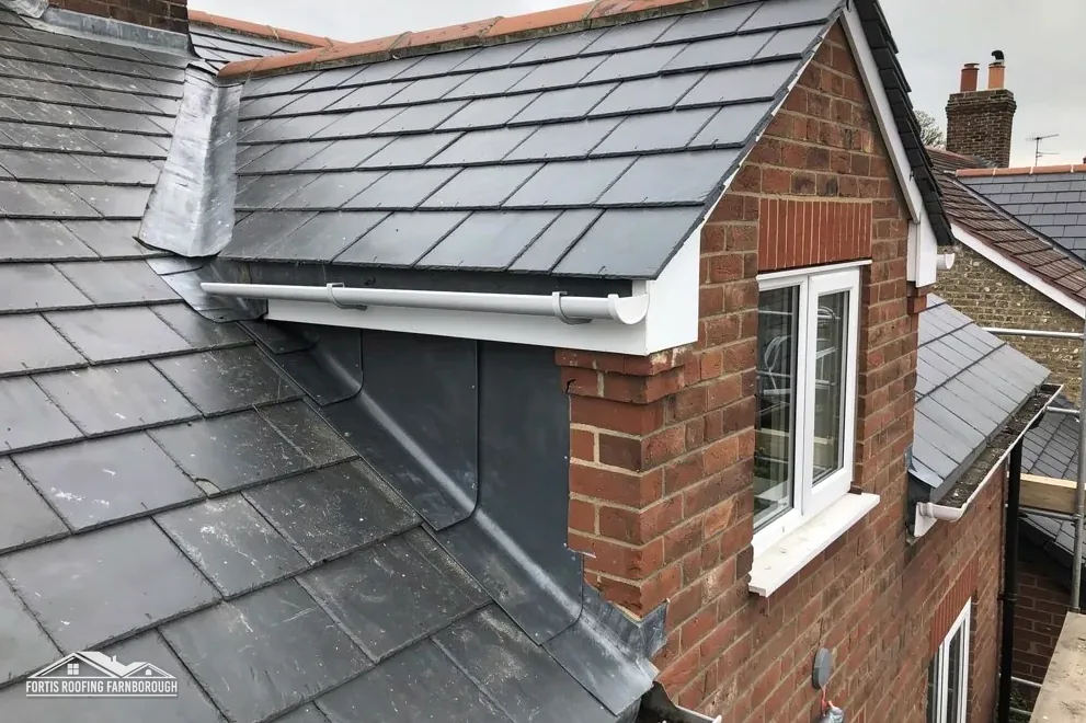
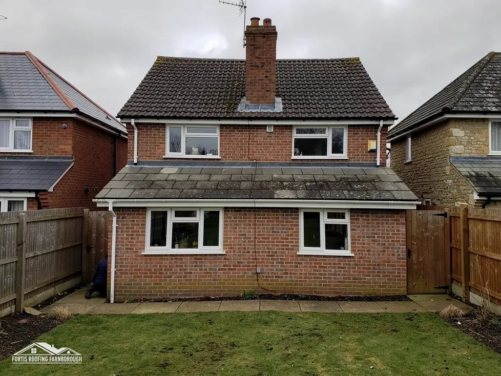
Homes beside Cove
A residential area on Farnborough's west side, so each roof is read from its own slopes, never from reputation.
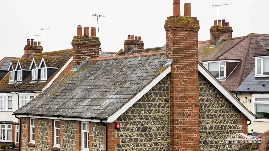
Homes on Farnborough's west side, between Cove and the airport
West Heath is a residential area on Farnborough's west side, between Cove and the airport. We survey each roof slope, photograph what we find and send one written price.
A residential area on Farnborough's west side, so each roof is read from its own slopes, never from reputation.
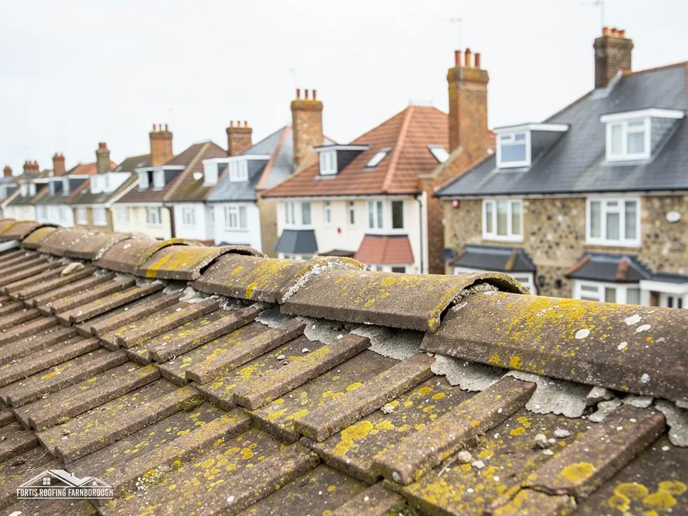
The airport safeguards the ground around its aerodrome, so a job needing a crane or tall plant is checked first.
Two conservation areas lie within about 2.5 km, so your address gets checked.
Map of West Heath with Cove, Southwood, Frimley, South Farnborough, Farnborough marked around it.
Map data © OpenStreetMap contributors. Loads only when you ask for it.
Cove sits against it on the west-north-west, Southwood lies south-west and Hawley north, with South Farnborough south-east and Frimley lies north-east.
About 1.4 road miles west of Farnborough · Rushmoor Borough Council and Hampshire County Council.
West Heath, the paper trail
Which councils answer for a West Heath roof, what the records say about the ground around it, and which maps and weather averages shape a repair. Every figure names where it came from.

| No. | Chapter | The figure it turns on |
|---|---|---|
| 01 | Which councils answer for a West Heath roof | Rushmoor plans, Hampshire licenses scaffold |
| 02 | Heath, then houses: what is known of the ground | Cove 1950s and 1960s, Southwood 1980s |
| 03 | Canal conservation areas, flood zone and weather | Flood Zone 2; rainfall about 715 mm |
Chapter 01 of 03
| Role | Body for West Heath addresses |
|---|---|
| Planning authority | Rushmoor Borough Council |
| County and highway authority | Hampshire County Council |
| Building control | Hart and Rushmoor Building Control Partnership |
| Scaffold licence on the highway | Hampshire County Council; the scaffold firm applies |
| Parish status | Rushmoor, unparished area |
Anyone asking who stands behind a West Heath roof job gets a short answer. Rushmoor Borough Council rules on planning, Hampshire County Council runs the road outside, and a shared inspection team covers building control. Counted from the A325 Farnborough Road, West Heath lies 1.4 road miles west of Farnborough, in the borough that Rushmoor formed in 1974 from Aldershot and Farnborough.
Rushmoor and Hart pool building control in a single Farnborough office, the Hart and Rushmoor Building Control Partnership. Homeowners may instead use a private firm, which since 6 April 2024 must be a registered building control approver. A repair of a few slipped tiles involves neither. The Planning Portal draws its line at less than 25 per cent of the building envelope and less than 50 per cent of the roof. Beyond that, or with a covering 15 per cent or more heavier, a structural check and approval follow.
Where your job lands against those limits is something the survey settles. We measure the affected slope, mark the damaged areas and express them as a share of the whole roof. An inspector asks for that share first, and having it ready means a fixed start date instead of a wait. Should an application be necessary, you hear so at the outset, and the weeks it takes are written into our programme.
Section 169 of the Highways Act 1980 puts scaffold on a public highway under the highway authority's licence, and in West Heath that authority is Hampshire County Council. Its rule is that the scaffolding company asks on the customer's behalf. At Hampshire County Council the notice period is 10 clear working days, the fee is £211.90 for a licence's first 2 weeks and £72 per extra 2 weeks, and a licence cannot be lengthened. Poles confined to a private road need no licence at all, and the survey establishes which case your house falls into.
Hampshire licence terms
Small jobs rarely touch any of this. A ladder or a low tower reaches most chimney flashings, ridge repairs and single-slope fixes without a highway licence, and the programme we send you says plainly which access each job needs, how long it will take and what happens on each day.
Chapter 02 of 03
West Heath and its neighbours in four published figures
Rushmoor's own history traces the borough's name to the area of ancient heathland to the west of the borough, and West Heath sits on Farnborough's western side, between Cove and the airport. Rushmoor's conservation overview dates two of its neighbours: new housing at Cove in the 1950s and 1960s, and at Southwood in the 1980s, and it says a new town centre complex was built to the north of North Camp to cater for them. For a roofer, that means a part of town where houses of several decades sit close together on neighbouring streets.
Neighbouring estates give no reliable date for the house next door, and none at all for the roof above it. A covering is renewed, extended or patched whenever its owner needs it to be, so a house from one decade can wear a covering from another, and the front and back slopes of a single house sometimes differ. We therefore treat each slope as a separate roof with its own condition. Tiles are raised in a few places to expose the battens and underlay, the ridge, verge and any valley are photographed close up, and what each slope is made of goes on record before a repair is priced.
That evidence is what allows a plain answer to the first question anyone asks, which is whether a repair will do. A run of loose tiles on one slope is a pitched roofing job. A covering failing everywhere is another matter, and our roof replacement page explains when the evidence points that way.
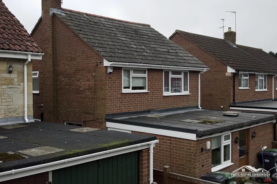
Extensions and garages count as roofs in their own right. A flat-roofed addition at the back of a house has its own covering, falls and outlets, and its own pages in the report.
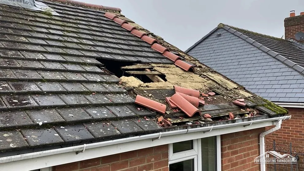
Inside the loft we search for pinpricks of sky at the eaves, rafters with tide marks, and felt that has gone soft. Those images are filed beside the outdoor ones, and together they point at the slope that needs work. Nothing is priced until you have seen them, so the quote you receive is one you can weigh against the pictures, with the measurements beside them.
Chapter 03 of 03
| Record | What it says | Why it matters on the roof |
|---|---|---|
| Conservation areas | Basingstoke Canal; Hawley Park and Green, within about 2.5 km | Check your address with Rushmoor's planning team |
| Flood Map for Planning | Flood Zone 2 within about 250 m of the centre | Keep gutters and downpipes clear |
| Met Office rainfall | About 715 mm a year over 118 wet days | Roofs and drains work hard |
| Met Office frost | Around 53 air-frost days a year | Water in joints can freeze |
Two conservation areas sit within about 2.5 km of West Heath, according to the national planning dataset: one follows the Basingstoke Canal, the other is Hawley Park and Green in Hart. Neither touches the 1.5 km box drawn around the place point, yet your address deserves a check and not an assumption. A change to a roof's look when seen from the road, for example a new covering or a changed ridge, goes to the planners at Rushmoor Borough Council before we price it. Our planning permission and roof work guide explains how that question is put.
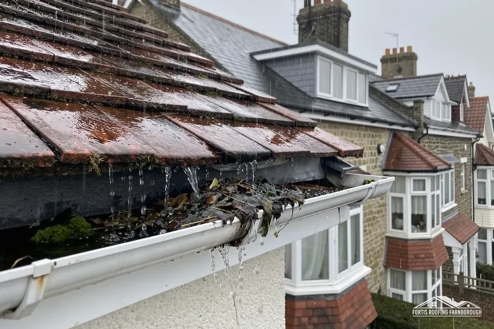
On the Environment Agency's Flood Map for Planning, some land within roughly 250 m of West Heath's centre falls in Flood Zone 2. A map of land has nothing to say about nails, battens or lead. What it does is prompt a thought about where rainwater goes once it leaves the slope. A sagging gutter, a blocked outlet or a leaking downpipe joint sends water down a wall or into the ground beside the house, so every gutter run is traced on the survey and any weeping joint is photographed.
The nearest Met Office station we draw on, South Farnborough, records annual rainfall of about 715 mm over 118 wet days and some 53 days of air frost, on 1991 to 2020 averages. Those are area averages, not a forecast for your street, but they explain how a leak begins: water gets into a gap at a valley, a flashing or a cracked tile, then freezes in it and prises it wider. Those are the places we study hardest, and our gutters, soffits and fascias page covers the drainage end.
Rushmoor has nine designated conservation areas in all. A house inside one of them, or a listed house, meets extra consent questions before a covering or chimney changes. A house outside them still gets the same close look at ridge, verge and flashing, since those details decide whether a repair lasts, and our survey reports them in the same plain terms whichever side of a boundary the house sits, and in the same careful order.
Not from the ground. We lift tiles in a few places on each slope, study what lies under them and photograph the result. The age and condition you are given come from your own slopes, not from a guess about the street or the decade it was built, and the pictures are yours to keep.
Not at all. The mapping describes land, not coverings, and some land near West Heath's centre falls in Flood Zone 2. What it does is make blocked gutters and downpipes worth fixing early, because water that cannot leave the roof properly ends up against walls and footings, where it does lasting harm.
Usually not by itself. The Planning Portal's test is under 25 per cent of the building envelope and under 50 per cent of the roof. The survey works out the share for your slope. A re-roof of the whole house goes past it, and Hart and Rushmoor Building Control or a registered approver then gets involved.
Under Hampshire County Council's rule, the scaffolding company makes the application for its customers. The council needs 10 clear working days' lead time. Scaffold kept wholly on your own private road needs no highway licence, and the survey settles which of the two cases your house falls into.
Get your free roof quote
Name your West Heath street and the trouble you have seen. A survey is booked, and the price follows in writing.
10-year workmanship guarantee, in writing.