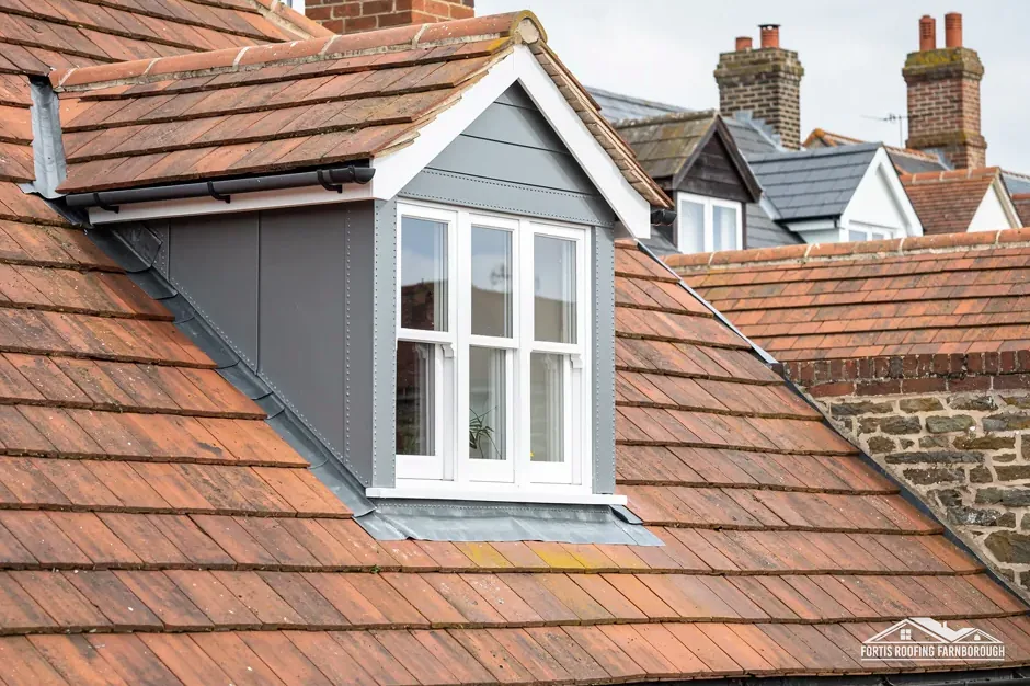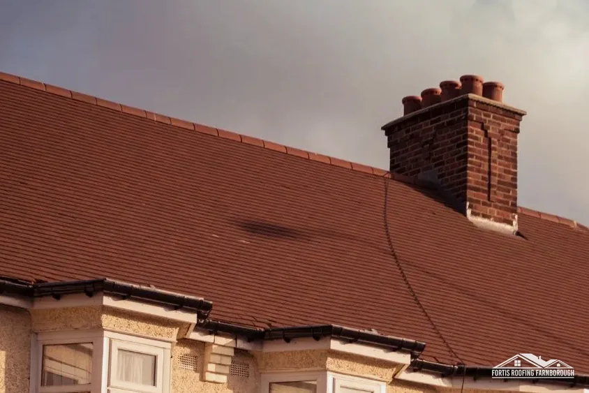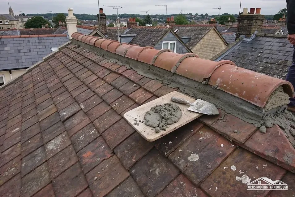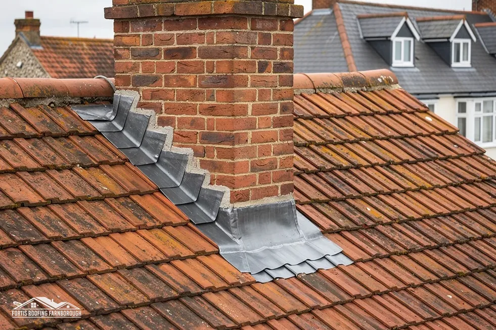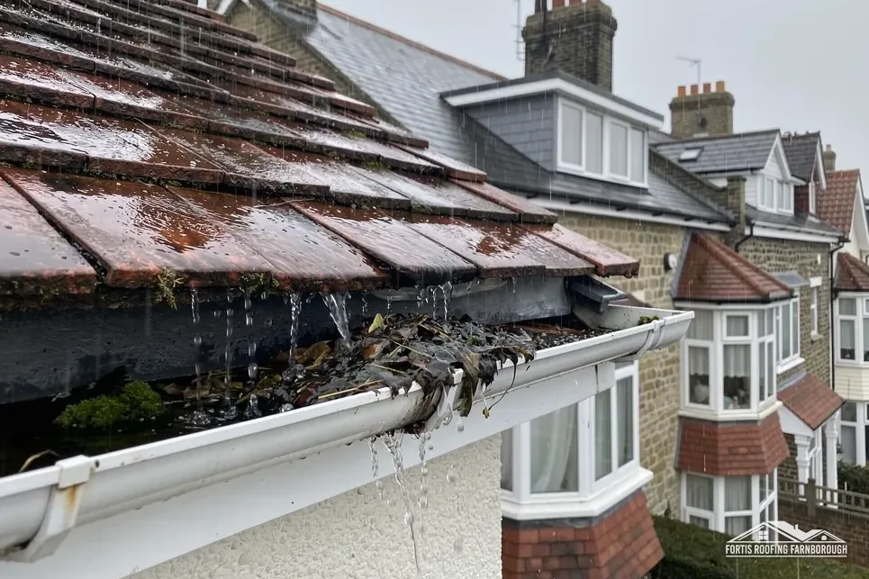
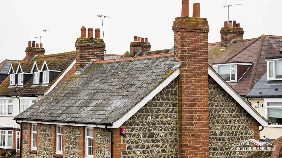
Red brick, central chimneys
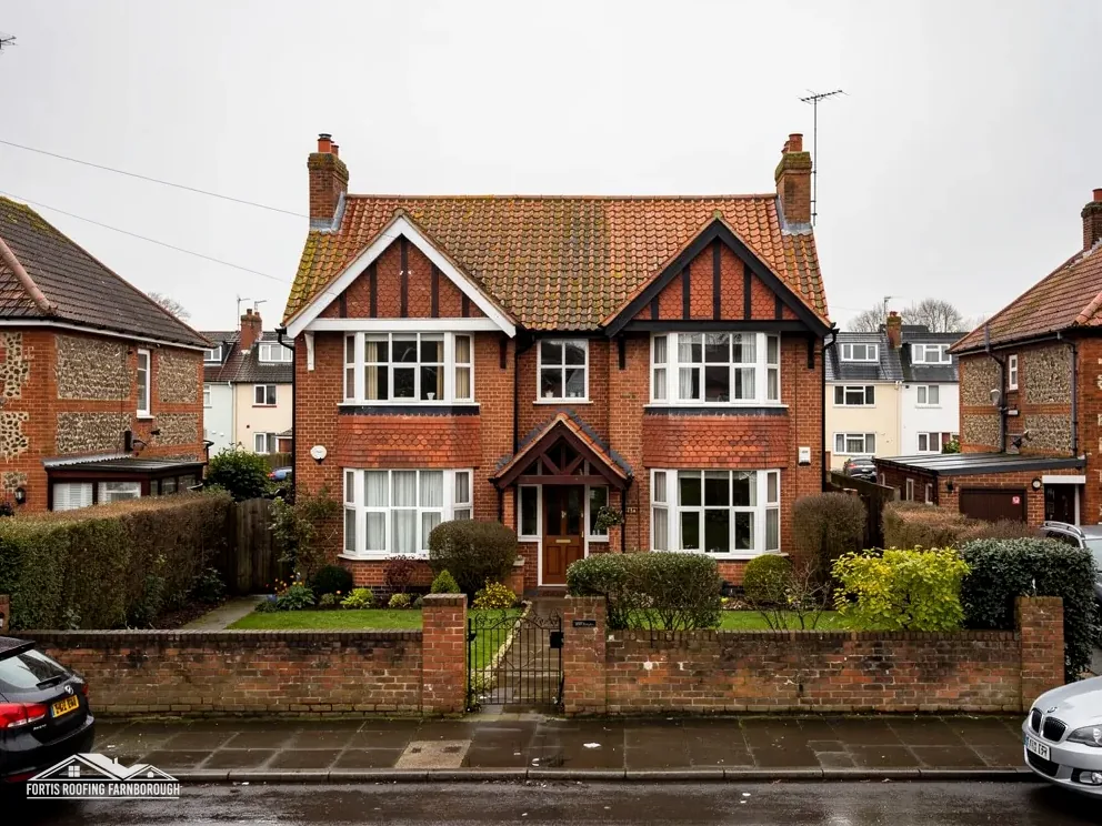
The Victoria County History recorded several 17th-century houses of red brick with central chimneys near the cross-roads.

Roofs in a Thames-side village of red brick and central chimneys
The Victoria County History found several 17th-century Thorpe houses built of red brick with central chimneys. We survey those roofs, and newer ones, slope by slope.
The Victoria County History recorded several 17th-century houses of red brick with central chimneys near the cross-roads.
The church tower is red brick in old English bond, and the nave roof is old but hidden by plaster.

The Cottage and Thorpe House each hold a Grade II* listing, which means any roof change there begins with consent.
Map of Thorpe with Virginia Water, Lyne, Egham, Chertsey marked around it.
Map data © OpenStreetMap contributors. Loads only when you ask for it.
Virginia Water is the neighbouring village west, Egham lies north, Chertsey south-east and Staines-upon-Thames north-east; Farnborough lies a good way off beyond Virginia Water.
About 15.7 road miles north-east of Farnborough · Runnymede Borough Council and Surrey County Council.
Thorpe, council and village record
Which councils answer for Thorpe's roofs, what the 1911 Victoria County History and the 2021 Census record about the village, and how listing, a conservation area and a church shape a repair.
| No. | Chapter | The figure it turns on |
|---|---|---|
| 01 | Runnymede, Surrey and the scaffold licence | 28-day scaffold licence periods |
| 02 | What the 1911 record says about Thorpe | 1,229 residents in Thorpe |
| 03 | Thorpe's conservation area and listed houses | 3 Grade II* buildings in Thorpe |
Chapter 01 of 03
| Question | Who answers in Thorpe |
|---|---|
| Planning authority | Runnymede Borough Council |
| Highway authority (until April 2027) | Surrey County Council |
| Building control | Runnymede Borough Council's own team |
| Scaffold licence on the highway | Surrey County Council |
| From 1 April 2027 | West Surrey Council replaces both |
Thorpe is a Surrey village on the Runnymede side of the county, and the road distance to Farnborough, taken from the A325, is 15.7 miles. Local government here has two tiers. Planning questions for Thorpe addresses go to Runnymede Borough Council, while the highway outside your front door belongs to Surrey County Council. On 1 April 2027 West Surrey Council succeeds them both, and a job booked this winter is handled under the present arrangements.
Runnymede runs its own building control team, and its pages name no shared service. A homeowner's opening question is whether the job needs any application whatever. The Planning Portal puts the line at two limits: 25 per cent of the building envelope and 50 per cent of the roof, and work under both is not normally a building control matter. A few slipped tiles, a re-bedded ridge or a renewed valley fall comfortably within them. Taking the whole covering off and replacing it is another matter, and a heavier covering is too. Where a covering weighs 15 per cent or more beyond its predecessor, approval is needed along with a structural check, whichever road it is on.
This is the reason each slope is measured and the share of roof touched by the job is written down. The answer to the building control question then rests on figures and photographs, and if an application turns out to be necessary you hear about it before the work is booked, with the extra time written into the programme.
Section 169 of the Highways Act 1980 is the rule behind scaffold on a road: if the poles obstruct the highway, the highway authority's licence is required. On Surrey County Council's page, scaffold over a pavement, a road or any other highway is licensed; the application goes in 10 working days before the start, at £208 per 28-day period. Licence dates are fixed alongside the scaffolder, and your start date already allows for the notice. Scaffold put up wholly on your own land is not the highway authority's concern.
Several of Thorpe's older houses have the central chimney that the old county history describes, and on a house like that a scaffold put up for the front slope often serves the stack as well. Our chimney repairs page describes repointing a stack, renewing its flaunching (the mortar bed that seals the top around the pots) and checking the lead where the stack meets the slopes.
Chapter 02 of 03
Four figures from Thorpe's public record
The 1911 Surrey volume of the Victoria County History pictures Thorpe as a group of houses at the cross-roads with others strung along a winding road to the east, several of them 17th-century, of red brick with central chimneys. The 2021 Census counted 1,229 usual residents in the Thorpe built-up area. This is a small place, and a roof survey here is a matter of one house at a time.
The same volume records that the parish soil is river gravel, sand and alluvium, and that the church tower is red brick laid in old English bond while the nave roof is old but hidden by plaster. We read little into the soil when we price a roof repair. The plaster is a better lesson. On an old building the roof structure can be covered from below, and the first job is to see it. A reachable loft is photographed too, taking in the rafters, the covering's underside and the chimney breast, which reveal damp, daylight and old repairs that the outside hides.
A house of that age may carry a covering that has been replaced more than once: a mix of old and newer tiles, or battens fixed in different generations. Each slope is named from what comes to light when a few pieces are lifted, and the repair follows that evidence, not a guess made from the road.
The Inclosure Act brought 700 acres of common fields into private hands, marked as Thorpe Field on the Ordnance map and lying north of the village. Nearly half the parish had been common field. We mention it because inclosure is part of why a village like this has houses of several dates side by side: the crossroads group, farmhouses and cottages of different periods, and newer houses on later plots.
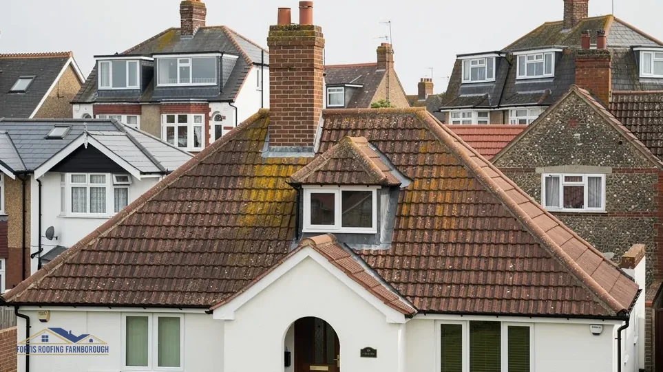
Whatever the age of the house, its roof is judged on what the slopes actually show, never on the street it stands in. Houses built later get the same sequence, starting with the covering and moving on to ridge, verges, valleys, flashings and gutters, all photographed and written up. Our pitched roofing page sets out how tiles and slates are refixed and replaced, and when a run of repairs stops being the sensible buy.
Chapter 03 of 03
| Designation | In Thorpe | For roof work |
|---|---|---|
| Conservation area | Thorpe | Changes to the look checked with Runnymede |
| Grade II* listed church in use | Church of St Mary (NHLE 1189962) | Church of England faculty, not listed building consent |
| Grade II* listed house | The Cottage (NHLE 1378051) | Listed building consent for works affecting its character |
| Grade II* listed house | Thorpe House (NHLE 1190067) | Listed building consent for works affecting its character |
| Grade II listed | 1, Church Approach (NHLE 1189236) | Listed building consent for works affecting its character |
A conservation area named Thorpe appears in the national planning dataset, drawn from Runnymede's own boundaries. Runnymede designated it on 24 February 1970 and extended it eastward on 9 August 1984. Living inside one does not freeze a roof. Section 55 of the Town and Country Planning Act 1990 draws its line at works that materially change a building's outward look, and a repair that keeps things as they were falls on the safe side of it. A fresh covering material, a different ridge or an altered stack changes the look, so we put it to Runnymede's planning team before pricing it. The council publishes the conservation-area boundaries, and it is worth checking your address against them early, because a house just outside the line is treated differently from one just inside it.
Whether an Article 4 direction covers a particular address is for Runnymede to answer, and we put that question before pricing work that would change the roof's look from the street. Listed houses follow their own route. The Cottage and Thorpe House are both listed Grade II*, and 1, Church Approach is listed Grade II. Altering one of them in a way that touches its character needs listed building consent, with planning permission added if that is also required.
St Mary's is listed Grade II* as well. Because it remains in Church of England worship, St Mary's falls inside the ecclesiastical exemption, and a faculty rather than a council decision authorises roof work there. It changes nothing for the neighbouring houses, yet it shows how the approval route follows the building and its use, which is why the question is asked at the start of a job.
On a listed or older Thorpe house the craft is the usual one: slipped tiles are refixed, the ridge is re-bedded on a mechanical fix and lead is renewed in the right code. Where the covering is worn out right across the roof, our roof replacement page follows a full re-cover stage by stage. What changes in a conservation area is the paperwork we keep, which lets a repair be compared with what stood there before. The photographs are yours to keep, and they help later if a buyer's surveyor, a neighbour or the council asks about the roof's history, because the dated photographs answer it.
Yes. The covering comes off and goes back on around the stack, which stays where it is. The county history recorded central chimneys on several 17th-century Thorpe houses, and the careful work is at the junction, where lead or flashing meets the slopes, and at the flaunching on top. We photograph both before pricing, so you see what is worn.
No. Putting back what was there leaves the outward look as it was, and under section 55 of the Town and Country Planning Act 1990 that is not development. A different covering or ridge shape does alter the view from the road, and we raise that with Runnymede's planning team, who can also say whether an Article 4 direction applies to your address.
No. St Mary's, a Grade II* building, remains a working parish church of the Church of England, so roof work there runs under a faculty. Where work on a listed house like The Cottage or Thorpe House alters its character, the route is listed building consent from Runnymede.
Not normally. A few tiles sit far inside the Planning Portal's two limits, which are 25 per cent of the building envelope and 50 per cent of the roof. Taking the whole roof off and laying a new covering exceeds both. Runnymede's own building control team, or a registered building control approver, would then be involved.
Get your free roof quote
Give us your Thorpe road and your worry, and we will set a date to survey and photograph each slope.
10-year workmanship guarantee, in writing.