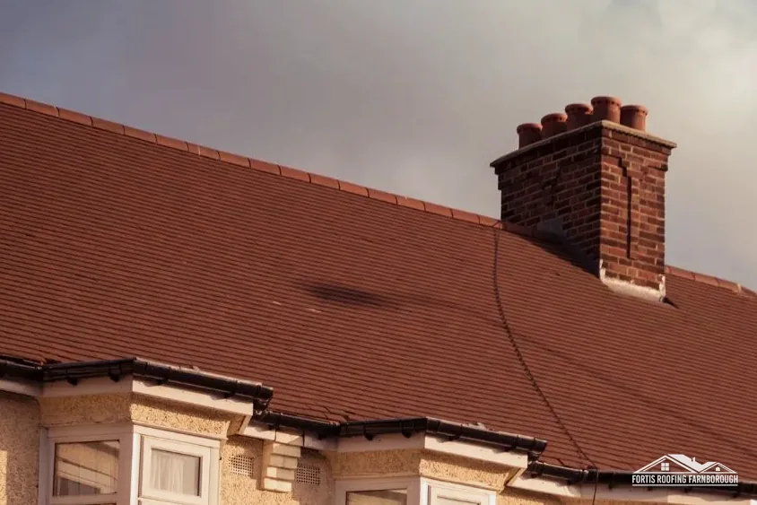

Houses near Frensham Ponds
The village is on the A287 south of Farnham, by Frensham Ponds, where a Tudor mill is recorded.

Roofs near Frensham Ponds, south of Farnham on the A287
Frensham sits by its ponds on the A287, with most of the ground around it in the Surrey Hills, a Grade II* church and two conservation areas close by. We survey with that in mind.
The village is on the A287 south of Farnham, by Frensham Ponds, where a Tudor mill is recorded.
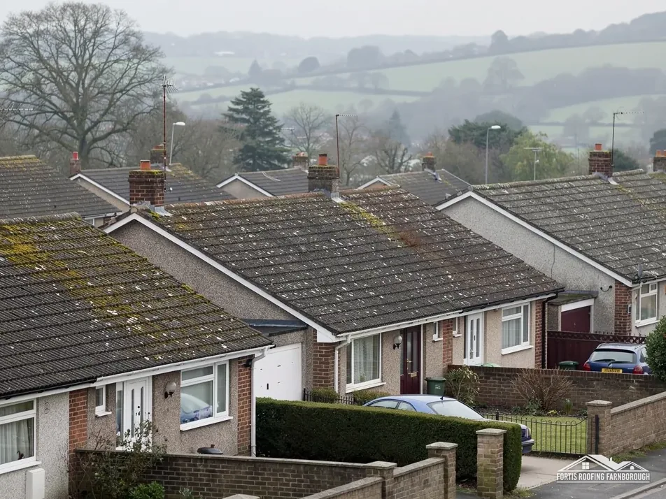
The Grade II* St Mary's Church has the Davison Vault to its east, listed Grade II.

Waverley's Article 4 list names land at Wishanger Farm and New Farm, Frensham, dating from 1966.
Map of Frensham with Rowledge, Churt, Wrecclesham, Tilford marked around it.
Map data © OpenStreetMap contributors. Loads only when you ask for it.
Frensham is on the A287 south of Farnham, beside Frensham Ponds, with Farnborough 13.4 road miles to its north.
About 13.4 road miles south of Farnborough · Waverley Borough Council and Surrey County Council.
Frensham, Landscape and consent
Who decides each part of a Frensham roof job, what the Tudor survey and the Surrey Hills designation mean for the village, and how two conservation areas, a Grade II* church and a farm direction shape what a repair needs.
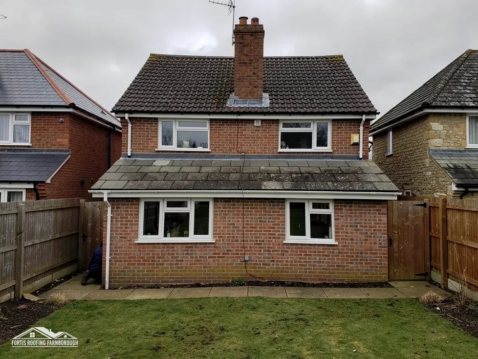
| No. | Chapter | The figure it turns on |
|---|---|---|
| 01 | Waverley's village, a Surrey highway | Waverley plans, Surrey licenses scaffold |
| 02 | A Tudor mill and a village by the ponds | Mill on Frensham Pond, rent 13s 4d |
| 03 | Surrey Hills land, two conservation areas and St Mary's | 84% of the area in the Surrey Hills |
Chapter 01 of 03
Frensham's numbers: size, scaffold and distance
Frensham is in the Waverley borough of Surrey, and Waverley Borough Council is its planning authority. It also supplies building control, as Waverley Building Control, checking plans and inspecting on site, and Waverley's page offers next-day inspection visits when the request goes in by 4pm the previous day. Surrey County Council holds the highway powers until 31 March 2027, and West Surrey Council succeeds to the borough and county functions after that date. The parish had 1,699 usual residents at the 2021 Census, and the village lies 13.4 road miles away, a figure counted from the A325 in Farnborough.
Nothing on Waverley's pages fixes a local re-roofing percentage. That leaves the Planning Portal's guide: a re-cover touching under 25 per cent of the building envelope and under 50 per cent of the roof is not usually an application matter. A new covering adding 15 per cent or more to the weight is judged separately, needing approval and a structural check. Waverley's inspectors will visit a site on request, and a registered approver offers the private alternative.
We decide at the survey which side of the thresholds a job falls on, by measuring slopes and identifying the coverings. Where it is close, the answer comes from the council or an approver, and we say plainly that we are asking.
A fair question for any roofer is what the quoted price leaves out: VAT, scaffold and carting off old material are the usual gaps. A total silent on them is incomplete, and ours is a single written figure for all of the work.
Until April 2027, Surrey County Council's scaffold licence is what you need if poles will occupy the road, the footway or any other public highway. It costs £208 per 28 days, renewal costs the same, and the council wants 10 working days' notice before the start. The page leaves open who sends the form, so we raise that with the scaffolder when you book.
Frensham's houses range from roadside homes on the A287 to cottages down quieter lanes, some with garden room for scaffold. A scaffold that stays on your own land stands outside the licence, which saves the notice period. We look at the frontage at the survey and give you the answer for your own address.
Chapter 02 of 03
| Record | What it says |
|---|---|
| Survey, reign of Edward VI | A mill built on Frensham Pond, held by Richard Drake |
| Rent | 13s 4d |
| Setting today | A287, south of Farnham, near Frensham Ponds |
| Flood Map for Planning | Parts within about 250 m of the centre are in Flood Zone 3 |
Hampshire's Victoria County History records a perambulation of neighbouring Headley parish in the reign of Edward VI, which listed a mill built on Frensham Pond, held by Richard Drake at a rent of 13s 4d. The record sits in the Hampshire volume because the perambulation was of Headley, across the county boundary from Frensham village. It is a reminder that the village's relationship with water is old, with ponds and woodland close at hand. The setting is a village on the A287 south of Farnham, near Frensham Ponds.
The county history gives the mill's holder and rent and nothing about the building itself. What it does show is a place where water has long been part of the working life of the village.
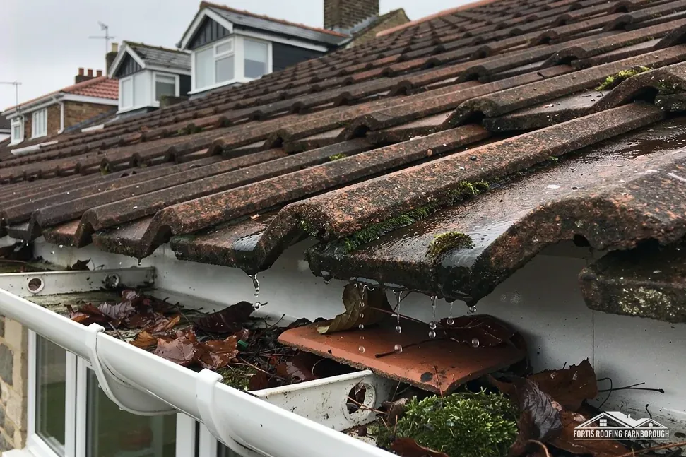
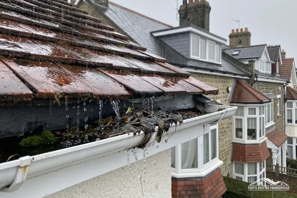
On the Environment Agency's Flood Map for Planning, parts of the land within about 250 m of the village centre are in Flood Zone 3. That is a map of land, not a statement about any roof, and it does not say a house will flood. It does justify attention to roof drainage: gutters, downpipes and the gullies and soakaways they feed. Water that cannot get away from the base of a wall causes damp, and a gutter that overflows onto that wall makes it worse.
Woodland and open water close to houses also mean moss, leaves and algae on north-facing slopes. A roof that stays damp grows moss quickly, and moss holds water against the covering and blocks valleys. Our roof cleaning and moss removal page explains how moss is dealt with without damaging tiles. Marley does not recommend jet washing, so we work gently and clear the gutters afterwards.
We test the drainage on every survey. Where it is safe to do so, we run water through the gutters and watch the joints and outlets. A drip at a joint, a sagging run or a blocked hopper goes into the photographs with a note of its position, so you see exactly where the water goes.
From the Tudor record
A record from the 16th century says nothing of today's roofs, so our survey puts a name to the covering of every slope after a close inspection. A century of repairs may stand between a house's first covering and the one you have now.
Chapter 03 of 03
Frensham's designations, in published numbers
Roughly 84 per cent of the ground within 1.5 km of Frensham's centre falls inside the Surrey Hills National Landscape, formerly an AONB. Planning law treats such ground as protected, withdrawing some permitted development rights, and a new look for a roof should be put to Waverley's planners first. Because the share is partial, a few addresses lie outside, and the boundary map settles each case.
Waverley says it has 44 conservation areas, and its page lists them by parish. The Frensham conservation area lies within about 0.75 km of the village centre, and Millbridge, Frensham, a second area, is close to it. Waverley's list of Article 4 directions includes one for land at Wishanger Farm and New Farm, Frensham, made in 1966. For a house, check whether that or any other direction applies with Waverley Borough Council; we do that for your address before pricing a change to the roof's look.
St Mary's Church carries a Grade II* listing; the Davison Vault, 15 metres to its east, carries Grade II, dating from January 1986. If St Mary's is in Church of England use, the faculty system governs its roof, and the vault, outside that exemption, falls to Waverley's listed building consent. Two listed buildings stand within 500 m of the village centre.
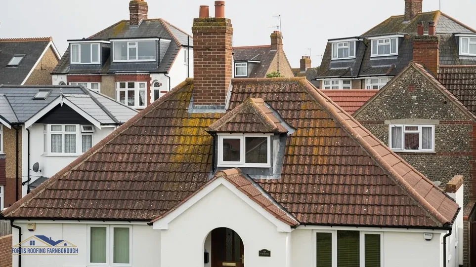
Trees around many houses make a pleasant setting, but they bring leaf fall and shade. Slopes that stay in shade dry slowly, so they should be checked more often than a sunny elevation of the same roof.
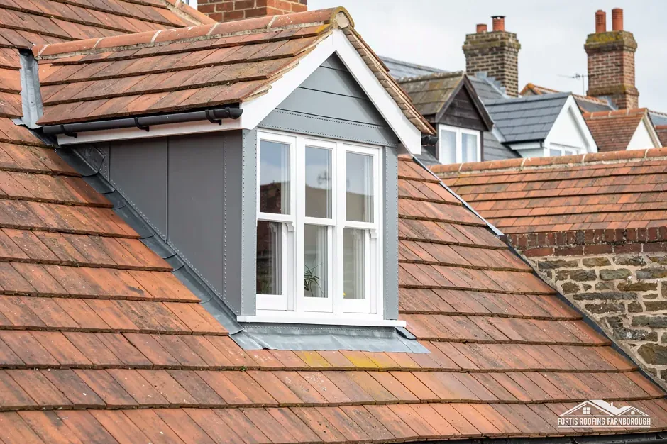
None of this restricts repair. Repairing an unlisted house like for like is upkeep, and sharp photographs of the existing roof support any later question. What the designations do is raise the stakes on matching: tile, colour, ridge and chimney work should follow what is there.
Owners sometimes assume that a designation means paperwork for every job. It does not. Most of a roof's life is routine: clearing gutters, refixing a tile, renewing a ridge, repointing a stack. A designation bites when the roof's look is going to change, and the survey shows early whether that is the case, leaving time to plan.
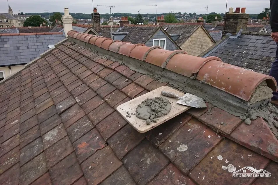
If your Frensham roof has a chimney that leans or a ridge that has lost its bedding, our chimney repairs page explains how those are dealt with, and what the survey checks first.
Moss holds water against the covering and can block valleys and gutters, so careful removal is often worth doing, particularly on a north slope that rarely sees sun. Marley advises against high-powered jet washes, which can damage a tile's surface. We inspect the tiles, work the moss off gently, clear the gutters and photograph the outcome.
The direction on Waverley's list, dating from 1966, is named for land at Wishanger Farm and New Farm. Whether it, or any other direction, applies to your house is a question for Waverley Borough Council, so we ask about your address before we price any work that changes the roof's appearance.
Not quite. Around 84 per cent of the 1.5 km area near the village centre is inside, which leaves a few addresses outside. Some permitted development rights are withdrawn on designated land, which bears on any change of roof appearance. We read the boundary map for your address before visiting.
Standing east of St Mary's Church, the Davison Vault is a Grade II listed structure, so Waverley Borough Council's listed building consent is the route for anything altering its character. The church itself may come under the faculty system where it is in Church of England use. The church or the building's owner can confirm the route.
Get your free roof quote
Your Frensham address and a note of what looks wrong are all we need to book the survey.
10-year workmanship guarantee, in writing.