Houses of a growing town
In 1911 the county history said the number of new houses showed the neighbourhood's growing character.
Roofs in a railway town that outgrew Chertsey's old centre
A railway station opened at Addlestone in 1848, and by 1911 the county history said it had outstripped Chertsey in importance. We survey homes and shops alike.
In 1911 the county history said the number of new houses showed the neighbourhood's growing character.
St Paul's church, built in 1838, is of brick with stone dressings and a tower.
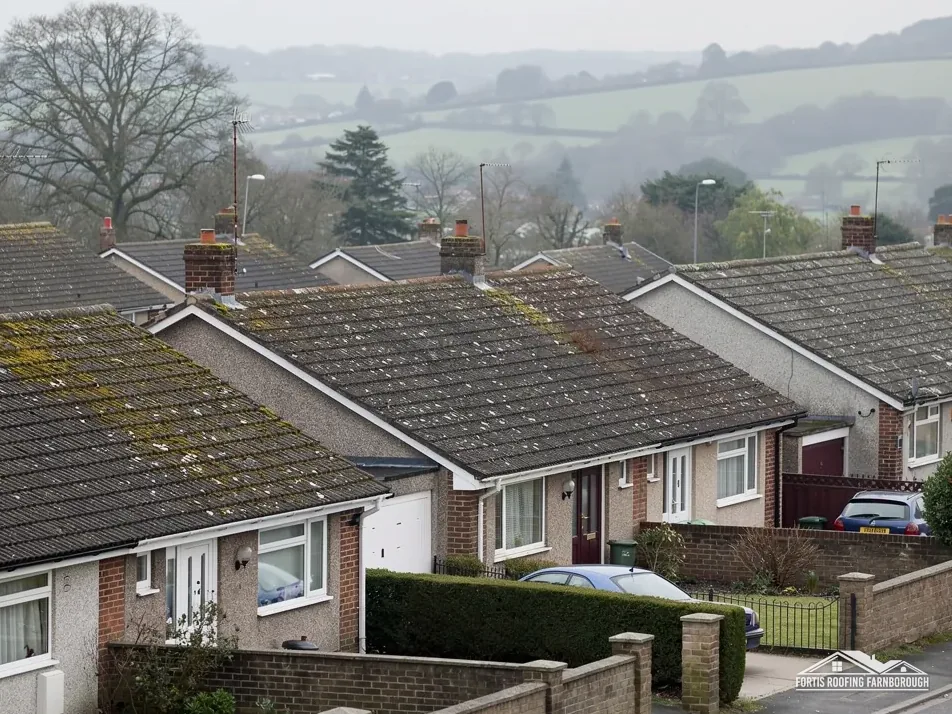
24 and 24A High Street is listed Grade II, so work on that roof starts with consent.
Map of Addlestone with Weybridge, New Haw, Chertsey, Ottershaw marked around it.
Map data © OpenStreetMap contributors. Loads only when you ask for it.
Chertsey lies to the north-west, Ottershaw to the west, Weybridge to the east, New Haw and Byfleet to the south and Shepperton to the north-east, with Farnborough to the south-west.
About 17.4 road miles north-east of Farnborough · Runnymede Borough Council and Surrey County Council.
Addlestone, railway and council record
How Runnymede's team and a registered approver divide building control for an Addlestone roof, how the 1848 railway and new houses built the town, and which listed buildings and the Wey Navigation conservation area affect repairs.
| No. | Chapter | The figure it turns on |
|---|---|---|
| 01 | Runnymede's team or a registered approver | Registration regime from 6 April 2024 |
| 02 | An 1848 station and a town of new houses | Weybridge and Chertsey line opened 1848 |
| 03 | The Wey Navigation and three Grade II buildings | 7 listed buildings within 500 m |
Chapter 01 of 03
| Question | Office for Addlestone addresses |
|---|---|
| Planning | Runnymede Borough Council |
| Building control, council route | Runnymede Borough Council's own team |
| Building control, private route | A registered building control approver (regime from 6 April 2024) |
| Scaffold and hoarding licence on the highway | Surrey County Council (until April 2027) |
| From 1 April 2027 | West Surrey Council replaces both councils |
Addlestone is a town in Runnymede borough, 17.4 road miles north-east of Farnborough as measured from the A325 Farnborough Road. It is bigger and busier than the villages around it, with a High Street, a station and a mix of homes and shops, and the roofing questions are often about both. The council that decides planning is Runnymede Borough Council, and the county council that holds the highways until 31 March 2027 is Surrey, with West Surrey Council taking over both on 1 April 2027.
A roof job that needs building control can go to Runnymede's own team, or to a private firm. Since 6 April 2024 a private firm must be a registered building control approver, which is a change from the older arrangements, and a householder is entitled to ask which route we propose. Both work to the same Building Regulations. The question is whether the job reaches either at all: the Planning Portal's limits are 25 per cent of the building envelope and 50 per cent of the roof, and a covering that is 15 per cent or more heavier also counts.
On a terrace, a shop with a flat rear roof or a block with several roofs, the percentages are worked out per building, and our survey says how. A job that touches one slope of one house is nowhere near the limits, whereas a full re-cover of a terrace section may well be.
Surrey County Council's page covers hoarding as well as scaffold, and says either needs a licence where it stands on a public road, pavement or highway. On a High Street, a shopfront job that needs hoarding is a licence matter in its own right. The page asks for the application at least 10 working days ahead, and sets the fee at £208 for each 28-day period. Nobody is named as applicant, so the scaffolder and we settle that between us, and the dates are carried into your programme.
Shops need to keep trading, and a scaffold on a High Street has to leave the entrance and the footway usable. Our commercial roofing page explains how a shop or small unit roof is planned around the business, and the written plan shows where the scaffold and the hoarding stand and which days they are in the way.
Chapter 02 of 03
Addlestone in four dates and counts
Surrey's 1911 county history says Addlestone could be considered to have outstripped Chertsey in importance. Its ward held the largest population of Chertsey's three wards, and the number of new houses showed the growing character of the neighbourhood. The Weybridge and Chertsey branch of the London and South Western Railway opened in 1848, with stations at Addlestone and Chertsey. The 2021 Census counted 13,747 usual residents in the Addlestone built-up area.
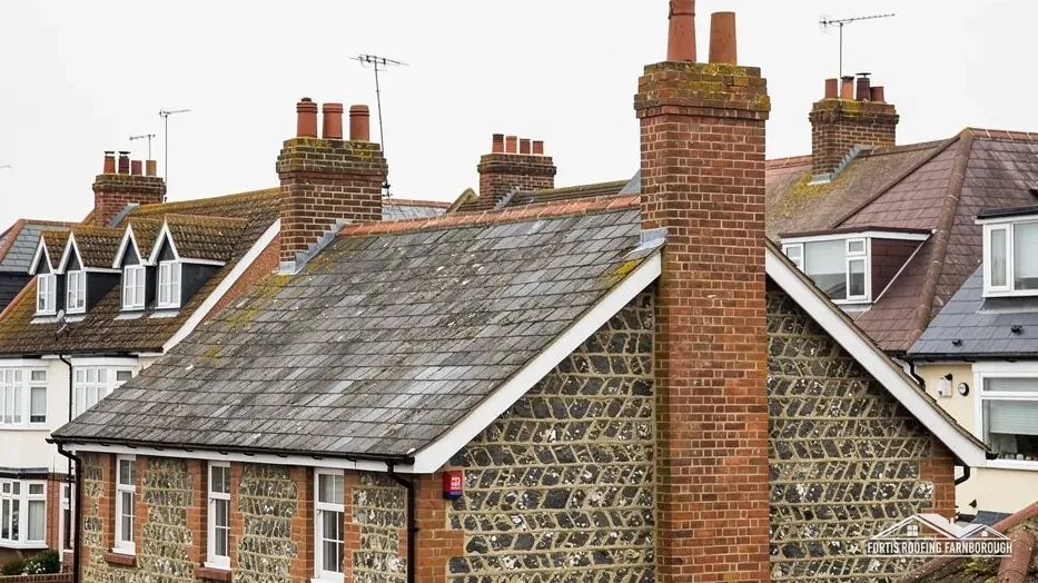
A town that grew with the railway grew in stages, and its streets hold several ages of house side by side. Terraces and pairs share walls, and a shared wall means a shared roof junction at the ridge and the eaves. A repair on one house touches the next at that junction, so we photograph it and describe the neighbouring slope only as far as it shows from our own. Talk between neighbours is yours to arrange, and our photographs give you both the same picture.
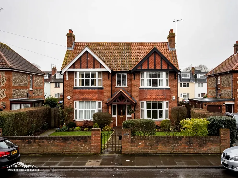
St Paul's church, built in 1838, is of brick with stone dressings and a tower, according to the history. Woodham, another ecclesiastical district of Addlestone, was formed in 1902 on the boundaries of Chertsey and Horsell. Those dates tell us the area grew in the nineteenth century and early twentieth, not what any house is made of, and we say nothing more about coverings than we find. A survey of a house of that period looks first at the ridge and hip tiles, then the valleys and the lead around chimneys, then the gutters and the boards that carry them. Each of those meets the weather before the main slope does.
The Environment Agency's Flood Map for Planning shows Flood Zone 3 within about 250 m of the centre of Addlestone. The zone describes risk to land, and a roof survey is not a flood assessment. What we can record is how water leaves a roof: gutters, downpipes, outlets and their falls and joints, and whether a discharge sits close to a wall.

For a flat section behind a shop or on an extension, drainage is part of the roof itself, and our flat roofing page covers the membranes, falls and outlets we check. Both kinds of roof appear in the written plan with photographs.
Chapter 03 of 03
| Designation | In Addlestone | For roof work |
|---|---|---|
| Conservation area | Wey Navigation | Changes to the look checked with Runnymede |
| Article 4 direction | Checked by address | Ask Runnymede whether one applies to your address |
| Grade II listed | 114 and 116, Chertsey Road (NHLE 1029176) | Listed building consent for works affecting its character |
| Grade II listed | 24 and 24A, High Street (NHLE 1029191) | Listed building consent for works affecting its character |
| Grade II listed | Barn at Hatch Farm (NHLE 1029177) | Listed building consent for works affecting its character |
The national planning dataset places the Wey Navigation conservation area within about 0.75 km of the centre of Addlestone. Runnymede's own page says the area was designated in August 1999, as part of a linear conservation area along the Wey and Godalming Navigations. Runnymede's conservation-area pages and map show whether a particular house or shop is inside the boundary. Where one is, work that leaves the building's appearance materially unchanged does not count as development under section 55 of the Town and Country Planning Act 1990, but a new covering or a changed chimney does alter it, and we raise that with Runnymede's planners first.
Whether an Article 4 direction applies to an Addlestone address is also a question for Runnymede. We ask before we price anything that would alter the roofline, and pass the answer on in writing. If the council says a direction applies, the plan is changed to suit it before any price is given, so nothing has to be unpicked later.
114 and 116, Chertsey Road, first listed Grade II on 9 June 1972, are among three listed buildings the national list names near the centre; 24 and 24A, High Street and the Barn at Hatch Farm are the others. Historic England's list counts 7 listed buildings within about 500 m of the town point. Any change to the character of a listed building, a shop or a barn included, needs listed building consent in advance.
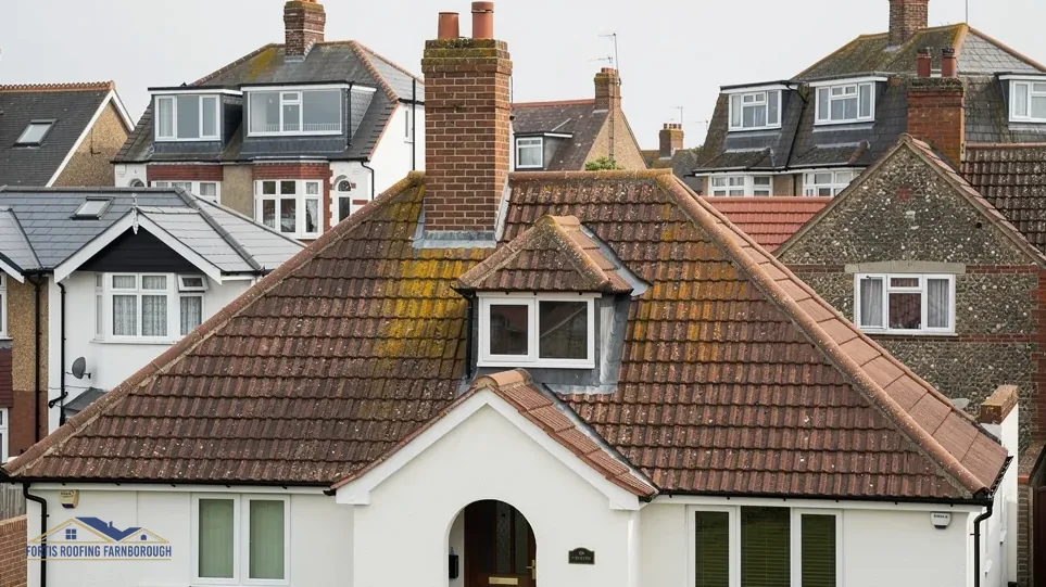
A listed shop roof is not a reason to hold off a repair. It is a reason to describe it first: the covering, the lead and the chimney in photographs, with a note of what is to be done and why. We prepare that description so that the consent application starts from evidence. Where the building is occupied by a business, the same note says how long each stage will take, so the tenant can plan deliveries and opening hours around the work, and the landlord can see what is being done to the roof.
For every other Addlestone roof, the route is the plain one: a survey, photographs, a written plan and one price. The file of photographs is yours, and is useful to a buyer, a landlord or a surveyor later.
We look at the whole roof, including any flat section behind the shop. Outlets, upstands and falls are photographed, as are the chimney, the flashings and the party-wall junctions with neighbours. Scaffold or hoarding on the street needs a Surrey licence, so we plan the access around trading hours before a date is set, and tell the shop in writing.
Since 6 April 2024 a private firm doing building control must be registered as one. It is the private alternative to Runnymede's own team, and both apply the same Building Regulations. Neither is needed for a small repair that stays under the Planning Portal's limits, and we say at the survey whether yours reaches either.
The planning dataset places the Wey Navigation conservation area within about 0.75 km of the town centre. Runnymede's map shows whether your own address is inside it. A repair that leaves the look unchanged is outside planning control under section 55, but a new covering or stack is not, and we ask Runnymede.
Yes, with a licence from Surrey County Council, which covers hoarding as well as scaffold, charges £208 per 28-day period and wants the application at least 10 working days ahead, so a shop that needs a date should allow for that notice. That page names no applicant, so we sort it out with the scaffolder and then give you the dates.
Get your free roof quote
Tell us your Addlestone address and what the roof is doing, and we will fix a survey date.
10-year workmanship guarantee, in writing.