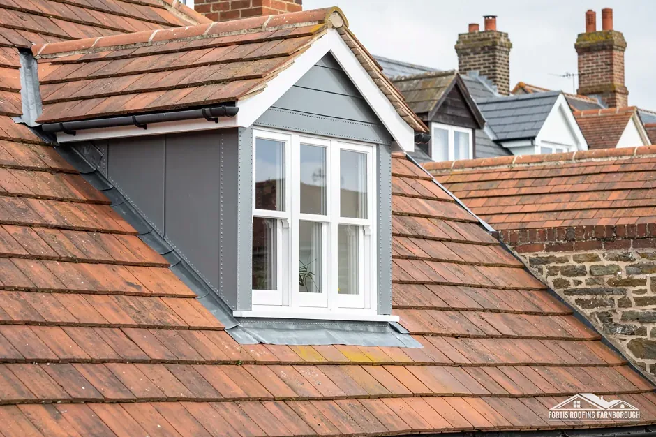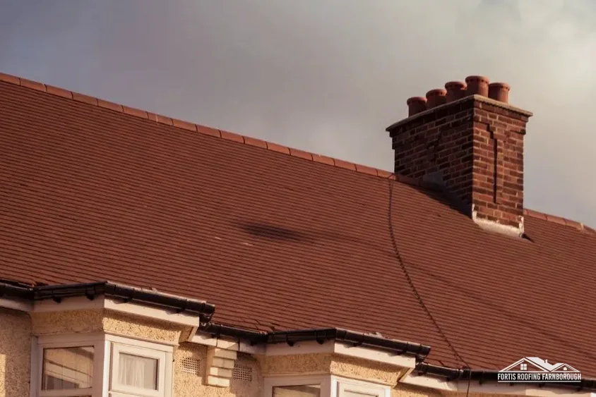
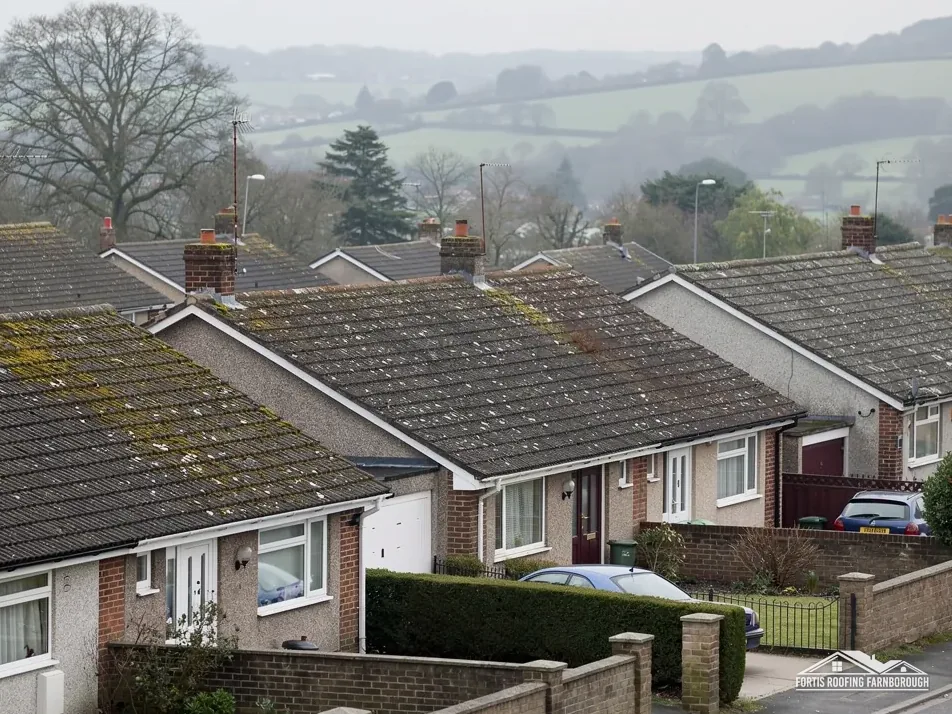
Hunts Farm and its barn
Hunts Farm House and a barn to its south-east are both Grade II listed, the barn since 6 January 1984.
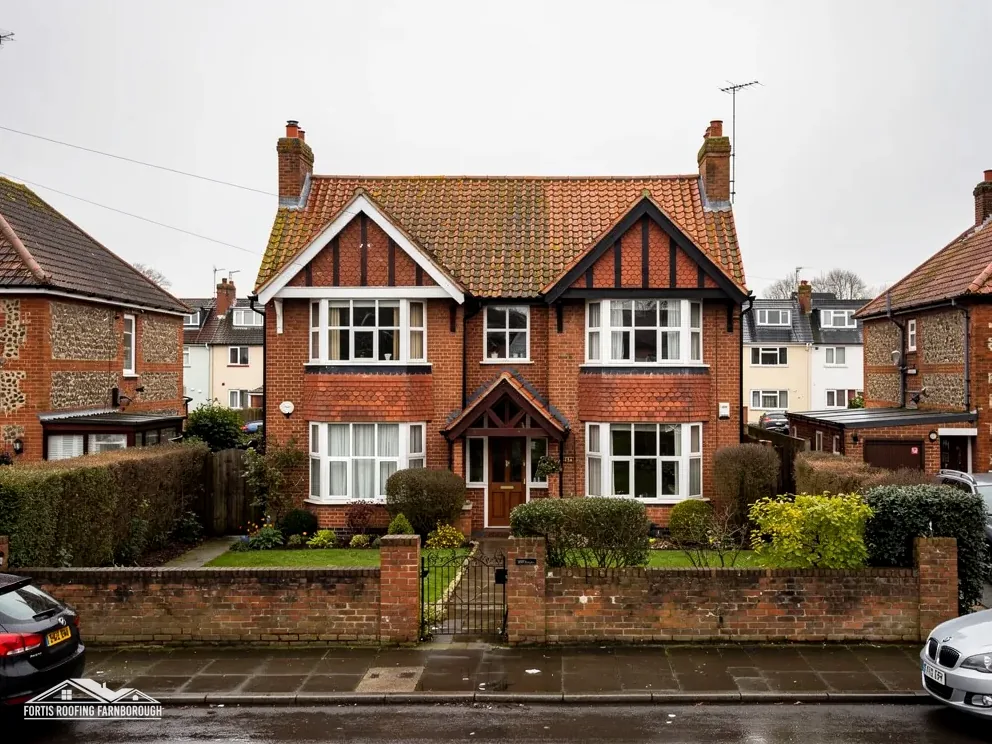
Roofs beside the Guildford railway, from the 1886 school to old farmhouses
Mayford lies on the A320 south of Woking beside the Guildford railway line, and its records reach back to the 13th century. Each slope is recorded before pricing.
Hunts Farm House and a barn to its south-east are both Grade II listed, the barn since 6 January 1984.

Ellis Farm House is listed Grade II, one of six listed buildings within 500 m of the village point.

The Mayford Industrial School moved in 1886 to a site near the Guildford line, with a farm and workshops.
Map of Mayford with Old Woking, St John's, Send, Woking marked around it.
Map data © OpenStreetMap contributors. Loads only when you ask for it.
St John's lies to the north-west, Woking to the north, Old Woking to the north-east, Send to the east, Jacobs Well to the south, and Worplesdon to the south-west.
About 9.9 road miles east of Farnborough · Woking Borough Council and Surrey County Council.
Mayford, grand serjeanty to Guildford line
The councils behind a Mayford roof, what the Victoria County History records of the manor, the tithing and the Industrial School, and how nearby conservation areas and farmhouse listings shape a repair.
| No. | Chapter | The figure it turns on |
|---|---|---|
| 01 | Woking's rules for a Mayford roof | Woking inspects; Surrey licenses scaffold |
| 02 | A manor, a tithing and an Industrial School | Industrial School moved here 1886 |
| 03 | Hunts Farm and the surrounding conservation areas | Barn first listed 6 January 1984 |
Chapter 01 of 03
| Role | Body for Mayford addresses |
|---|---|
| Planning authority | Woking Borough Council |
| County council and highway authority | Surrey County Council (until 31 March 2027) |
| Building control | Woking Borough Council, its own service |
| Scaffold licence on the highway | Surrey County Council, 28 day periods |
Counted along the road from the A325 Farnborough Road, Mayford is 9.9 miles east of Farnborough. Woking Borough Council handles its planning and its building control, and Surrey County Council looks after the A320 and the village's other roads until 1 April 2027, when West Surrey Council succeeds it.
The Planning Portal supplies the national yardstick for roof work: less than 25 per cent of the building envelope and less than 50 per cent of the roof can normally be done without an application. A few repaired tiles on a Mayford house sit inside it. A full re-cover does not, and extra load of 15 per cent or more brings in Building Regulations approval together with a structural check, whatever the size of the job. On an old farmhouse with big timbers the structural question has to be answered by looking, so the survey records the roof's frame alongside its covering.
Woking runs its own building control service, with a registered building control approver as the private alternative, registered since 6 April 2024. We put in writing which of the two your job needs, if either, once the roof has been measured.
Old farmhouse roofs often combine several coverings from different decades, with later repairs patched over earlier ones. Before any percentage is worked out, we sketch the roof in plan, mark each patch on it, so the proportion of the roof affected is built from measurement and not memory.
Mayford stands beside the railway line to Guildford, so a scaffold on a road near the line is planned with care for neighbours and passers-by. Scaffold that has to stand over a road or the footway beside it requires a Surrey County Council licence: £208 for each 28 day period, applied for 10 working days or more before the start. The council's page names no applicant; we put that to the scaffolder and pass the answer on. Scaffold kept to your own plot needs none.
We settle the spots for poles, skip and ladders ahead of booking, clear up every evening and leave you a line about tomorrow's work, so the household knows when the drive will be free.
Chapter 02 of 03
Mayford in dates from the Victoria County History
The 1911 Victoria County History says that in the 13th century Mayford was held of the king by grand serjeanty, a form of service tenure, and that by 1280 to 1281 it was counted part of Woking manor. A tithing of Mayford is recorded from 1666. These are the oldest dates in the record, and they remind us that the settlement is far older than any roof now standing in it.
The same history records that the Mayford Industrial School for destitute boys moved in 1886 to a site near the Guildford line south of Woking town, with a farm and workshops for over a hundred boys. An institution of that kind meant large buildings, long roofs and outbuildings of several kinds, and a village shaped by it carries a mix of building sizes. Every roof on a plot is surveyed in its own right, whether it is a house, a barn, a workshop or a lean-to.
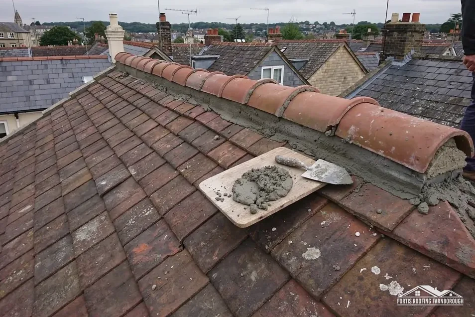
Large roofs have long ridges and many joints. Each ridge tile, hip and valley is checked, and the lead dressed against each wall abutment is eased up and photographed. Where lead is used for flashings, Royston's brochure lists codes 4, 5 and 6 for the purpose, so the code is part of the specification for a lead repair. Our pitched roofing page covers the way long slopes are surveyed.
The school's farm is a reminder that Mayford's building stock has long included working farm roofs, which are large, plain and exposed at the ridge and the gables. A repair there is argued from the same evidence as a house roof: the covering, the battens beneath it, the fixings and the junctions, each photographed and described.
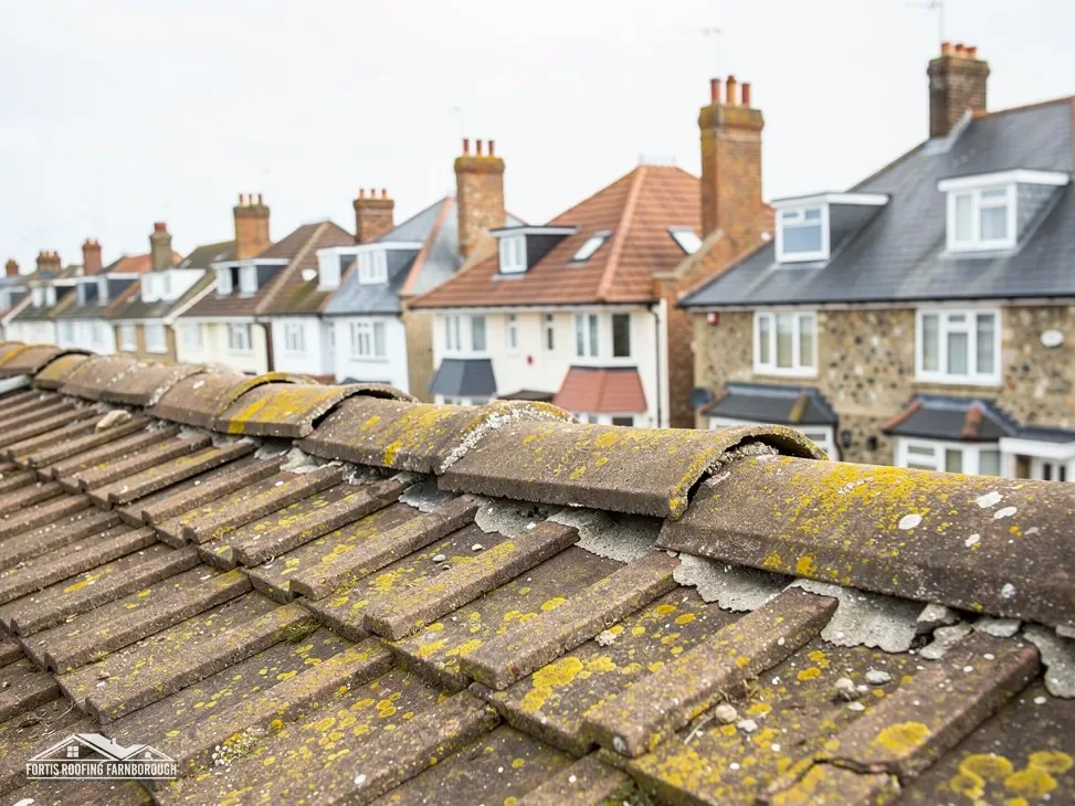
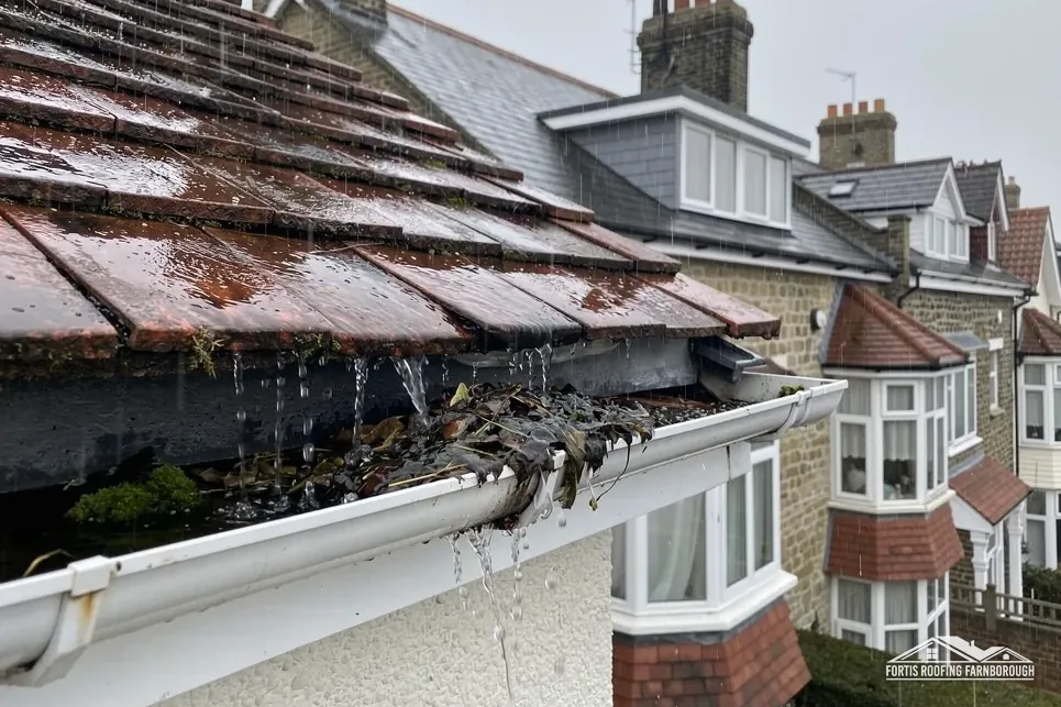
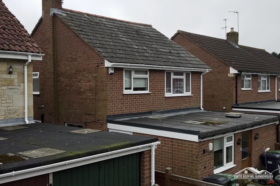
The roofline is surveyed as part of the roof: what is in the gutters, how the runs fall, which fascia boards have moved and which fixings have loosened. A workshop or lean-to with a flat roof is also checked for a finished fall of 1:80, the minimum BS 6229:2025 keeps for general roof areas, and for any water that stands after rain. The findings go in the report with photographs. Our gutters, soffits and fascias page explains how a run is read.
Whatever the building, the same discipline applies: lift, photograph, name the covering, and put the finding in writing before a price is given.
Chapter 03 of 03
| Designation | Near Mayford | For roof work |
|---|---|---|
| Grade II listed | Hunts Farm House (NHLE 1378245) | Listed building consent for work affecting character |
| Grade II listed | Barn South East of Hunts Farm House (NHLE 1236358) | Listed building consent for work affecting character |
| Grade II listed | Ellis Farm House (NHLE 1236313) | Listed building consent for work affecting character |
| Conservation areas, nearest | St John's, Old Woking, Worplesdon and others, within about 2.5 km | Check with Woking by address |
| Article 4 direction | Checked by address with Woking | Shows whether a roof right has been withdrawn |
Within 500 m of the village point the National Heritage List shows six listed buildings. They include Hunts Farm House (NHLE 1378245), a barn 15 yards to its south-east (NHLE 1236358), first listed on 6 January 1984, and Ellis Farm House (NHLE 1236313), each Grade II.
Planning data lists the conservation areas nearest to Mayford, within about 2.5 km, as Ashwood Road and Heathside Park Road in Woking, the Basingstoke Canal, Fishers Hill in Hook Heath, Mount Hermon in Woking, Old Woking, Pond Road in Hook Heath, St John's in Woking, Sutton Park and Sutton Green, The Hockering in Woking, the Wey and Godalming Navigations, and Worplesdon. With so many close together, the first job is to find out whether your address is inside one. Woking Borough Council says it has 27 conservation areas, and site-by-site constraints are published on its planning pages.
Because the areas lie close together, the answer for a Mayford house depends on which side of a boundary it stands, and the map is the authority. The survey report says which areas, if any, include your address and which do not, with the date of the check.

Being in a conservation area is not a bar to maintenance; what counts is whether the look from outside changes, so restoring the old covering and ridge is fine and a different material is a question for the council. Whether an Article 4 direction applies to your house is also a question for Woking, and the answer goes in your written report.
A listed building needs listed building consent ahead of any work altering its character. On a farmhouse or barn, the sound repair keeps the old material: tiles matched and reused where they are good, battens replaced only where decayed, and flashings in lead of a suitable code. Our chimney repairs page explains how the lead around a stack is renewed.
The survey puts the consent route on paper, with photographs, before any work is booked, so that nothing is left to be discovered mid-job.
On a listed farm building the historic fabric itself is protected, which sets it apart from an estate house. A barn's roof timbers, its handmade tiles and its ridge are the record, and a repair that keeps them is the right repair. That is why the survey dates and photographs every slope before the council is asked anything.
The barn is measured first, then examined slope by slope, with the ridge, each gable verge and the gutters photographed along their length. A few tiles are lifted where the surface hides the condition. The percentages for building control come from the measurements, and you see them in the written report.
Several lie within about 2.5 km of the village, so yes, the address is checked against Woking's map before pricing. Restoring the old covering and ridge is not affected by a conservation area; a different material would be. Any Article 4 direction is looked up at the same time, and the result goes in your written report.
Not by itself. Work that changes the character of a listed building needs listed building consent, and the listing covers that farmhouse and its listed barn. Neighbouring houses are judged on their own record, which the National Heritage List shows before we give a price, and the result is written down and shared with you.
A scaffold that has to stand over the A320 or a side road needs Surrey County Council's licence, at £208 for each 28 day period. The page names no applicant, so the scaffolder is asked and we report back to you. Scaffold kept to your own plot needs no licence at all.
Get your free roof quote
Name the road and describe the leak or damage, and we will book a visit.
10-year workmanship guarantee, in writing.