Canal-side streets
The Basingstoke Canal South conservation area lies within about 0.75 km of Ash Vale's centre.

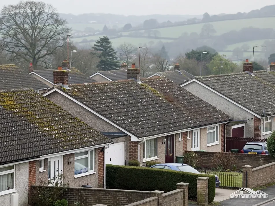
Roofs on the canal-side heath where Aldershot Camp fed new streets
Ash Vale is a canal-side village on the heath, grown up beside Aldershot Camp, in Guildford borough. Each roof is surveyed, photographed and priced once.
The Basingstoke Canal South conservation area lies within about 0.75 km of Ash Vale's centre.
Ash Vale School dates from 1860, and an iron church was built at Ash Vale in 1885.
The 1911 county history says houses linked with Aldershot Camp turned desolate heaths into straggling villages.
Map of Ash Vale with North Camp, South Farnborough, Ash, Mytchett, Farnborough marked around it.
Map data © OpenStreetMap contributors. Loads only when you ask for it.
Normandy lies to the south-east, Ash to the south, Mytchett to the north, South Farnborough to the north-west, and North Camp to the west.
About 3.2 road miles south-east of Farnborough · Guildford Borough Council and Surrey County Council.
Ash Vale, camp and canal
How Aldershot Camp reshaped the heath around Ash Vale, what the canal and the flood map add to a roof survey, and how Guildford's building control and Surrey's scaffold licence fit together.
| No. | Chapter | The figure it turns on |
|---|---|---|
| 01 | School 1860, iron church 1885 and a camp-fed boom | School 1860; iron church 1885 |
| 02 | The canal area, a flood layer and Guildford's chimneys | Canal area within 0.75 km; Flood Zone 3 |
| 03 | Guildford's inspectors, Surrey's scaffold licence and 2027 | Guildford inspects; West Surrey from 2027 |
Chapter 01 of 03
Ash Vale in four dates and figures from published records
Ash Vale grew because of Aldershot Camp. The Victoria County History of 1911 says the making of the camp had revolutionised the neighbourhood: houses connected with it had turned what were desolate heaths in Ash parish into a succession of straggling villages, even towns. The same volume records that Ash Vale School was built in 1860 and enlarged in 1897, and that an iron church was built at Ash Vale in 1885. The village is 3.2 road miles south-east of Farnborough, measured from the A325, in the north of Ash parish.
Those dates describe a settlement that grew in bursts. A school in 1860, an extension in 1897, a church put up in iron in 1885: that is a village adding buildings as it needed them, and a street built in one decade can sit beside one built in another. Dates of a school and a church cannot tell you what is on the roof of a given house, so a survey reads the roof in front of it.
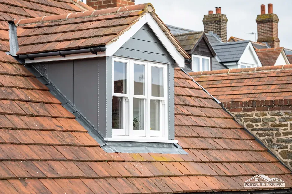
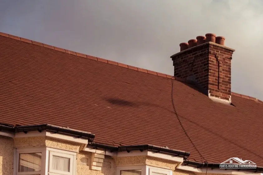
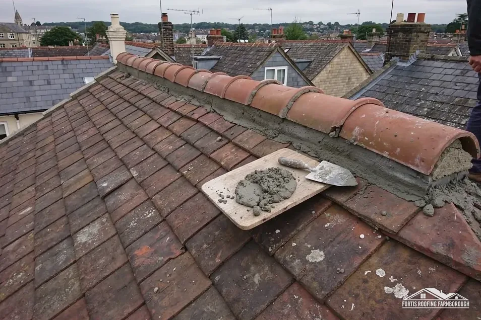
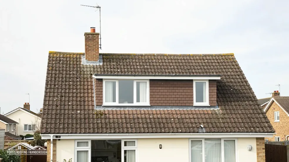
For a pitched house roof that means working along each slope with a tape and a camera. We measure the run, peel back a few tiles in two or three places to see how the battens and underlay are doing, and inspect the ridge, the hips, any valley and every chimney junction. A tired roof shows itself at those places before it shows itself anywhere else, and the close-up photographs make the case without argument.
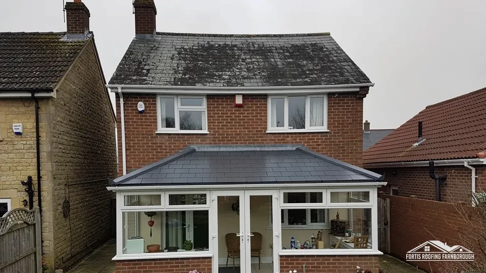
Our pitched roofing page explains how a failing slope is repaired and when a repair stops making sense. If the covering has failed across the house, our roof replacement page describes what a new roof involves. Whichever applies, the evidence comes first and the price second.
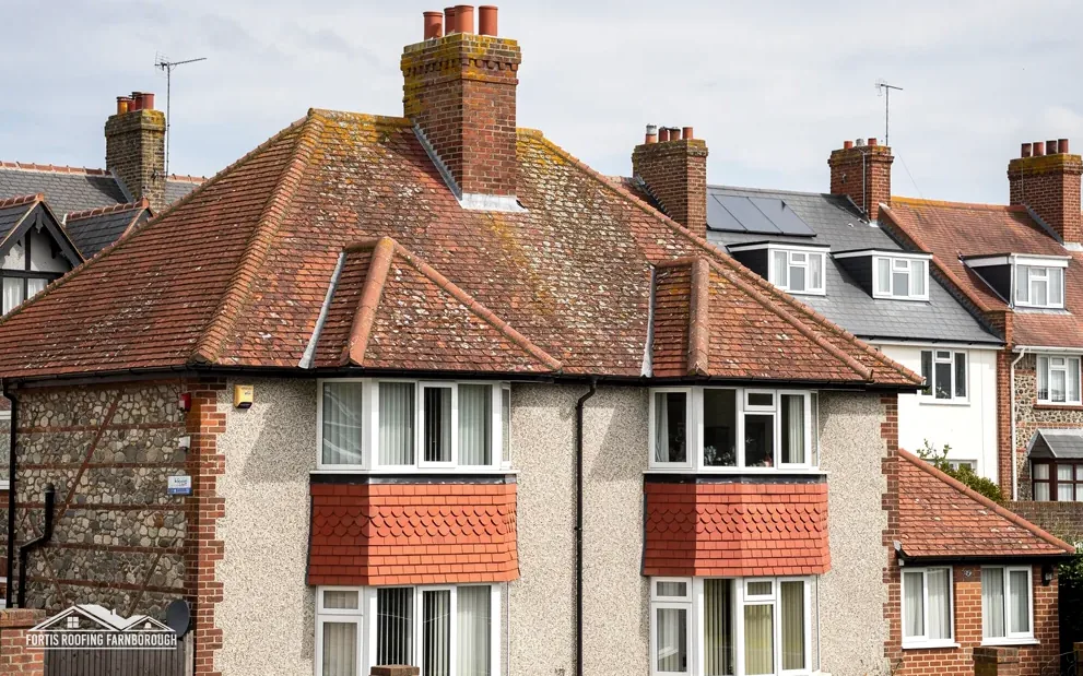
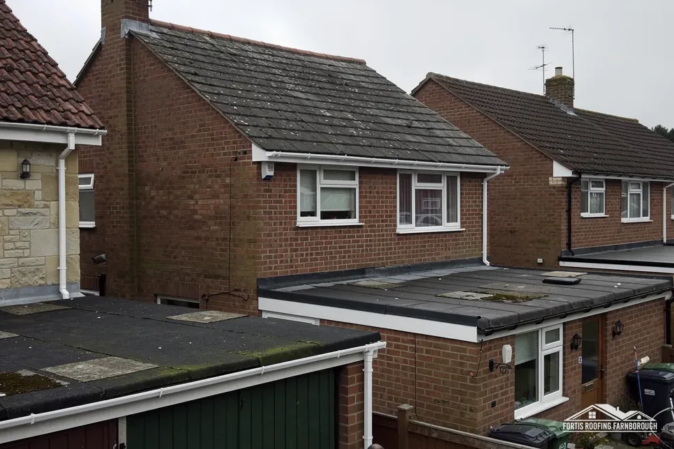
Terraces and semi-detached houses share more than a party wall. They share a roofline, so a repair on one slope can need a conversation with the neighbour about access, a shared valley or a joint gutter. We photograph the junction where the two roofs meet and describe whatever is visible of the neighbouring slope from our own, without ever stepping onto it, so that both owners start from the same picture.
Chapter 02 of 03
| Record | What it says | For the roof |
|---|---|---|
| Conservation area | Basingstoke Canal South, within about 0.75 km of the centre | Check your address with Guildford |
| Flood Map for Planning | Flood Zone 3 within about 250 m of the centre | Keep gutters and outlets working |
| Guildford's Article 4 note | Where one applies, a chimney cannot be removed or altered without permission | Check the council's map per address |
| Setting | Bagshot Sands heath between the Blackwater valley and Chobham Ridges | Trees and heath near roofs |
The Basingstoke Canal South conservation area lies within about 0.75 km of Ash Vale's centre, and Guildford notes that the canal runs through the northern part of the Ash and Tongham urban area, which has stations at North Camp, Ash Vale and Ash. The planning dataset draws a 1.5 km box around the place point, and the canal area reaches into it. Whether your own house lies inside the boundary is a matter for Guildford Borough Council's map, and we look it up for every Ash Vale address.
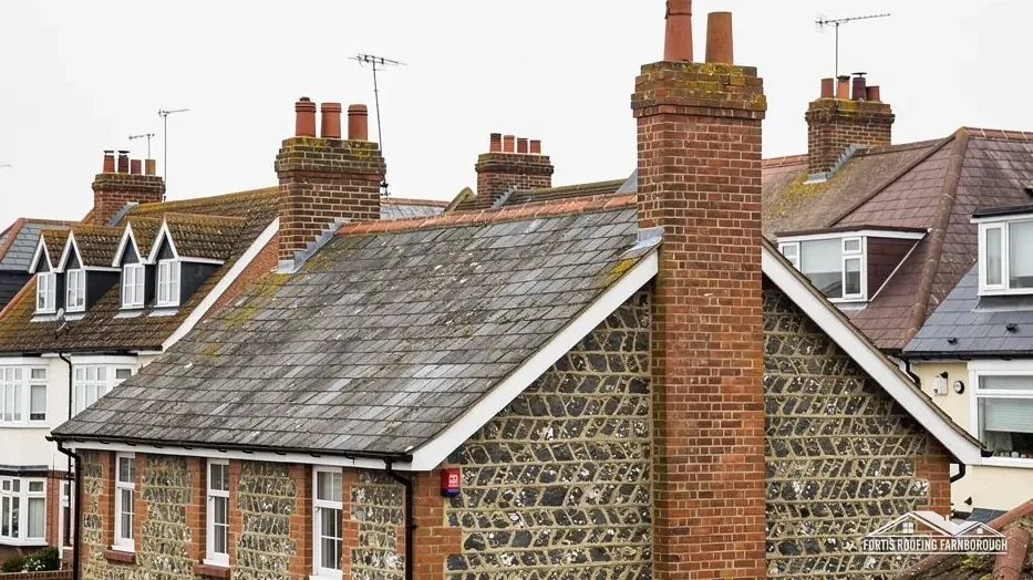
Guildford's conservation pages say that it uses Article 4 directions to control change in conservation areas. Where one applies, taking down or altering a chimney needs permission first, and other frontage works do as well. The page tells owners to check their own address on the council's map and select its Article 4 layer. We do the same before any quote that touches a stack, a front slope or the covering material, because a direction that exists on a map is better discovered before a job than after it.
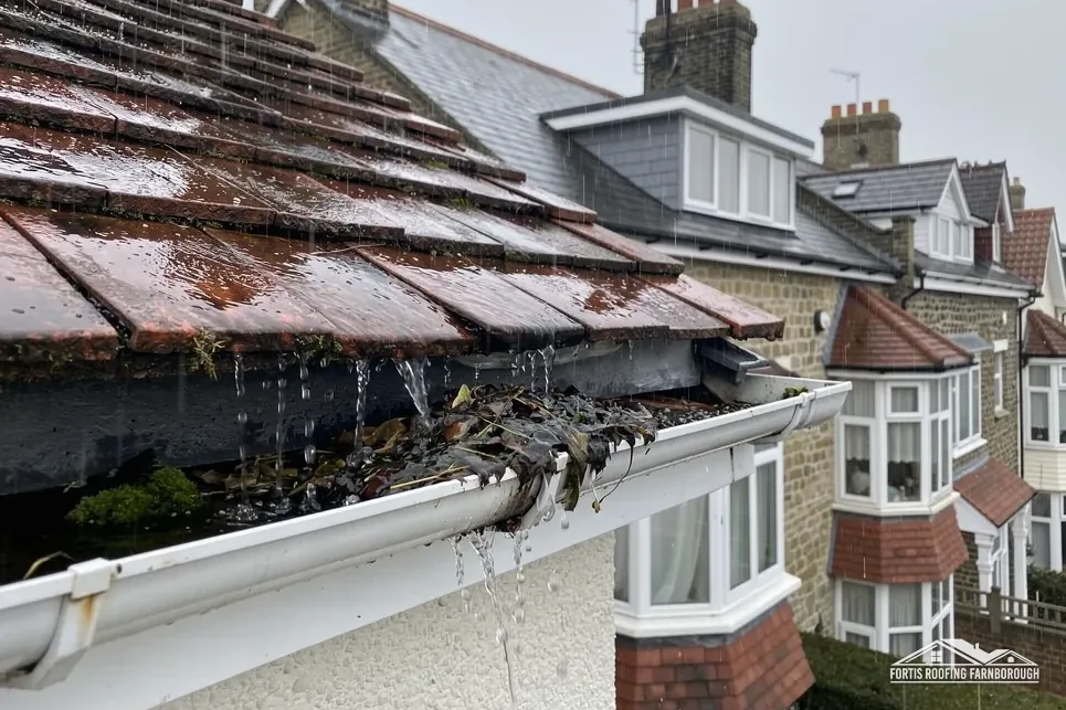
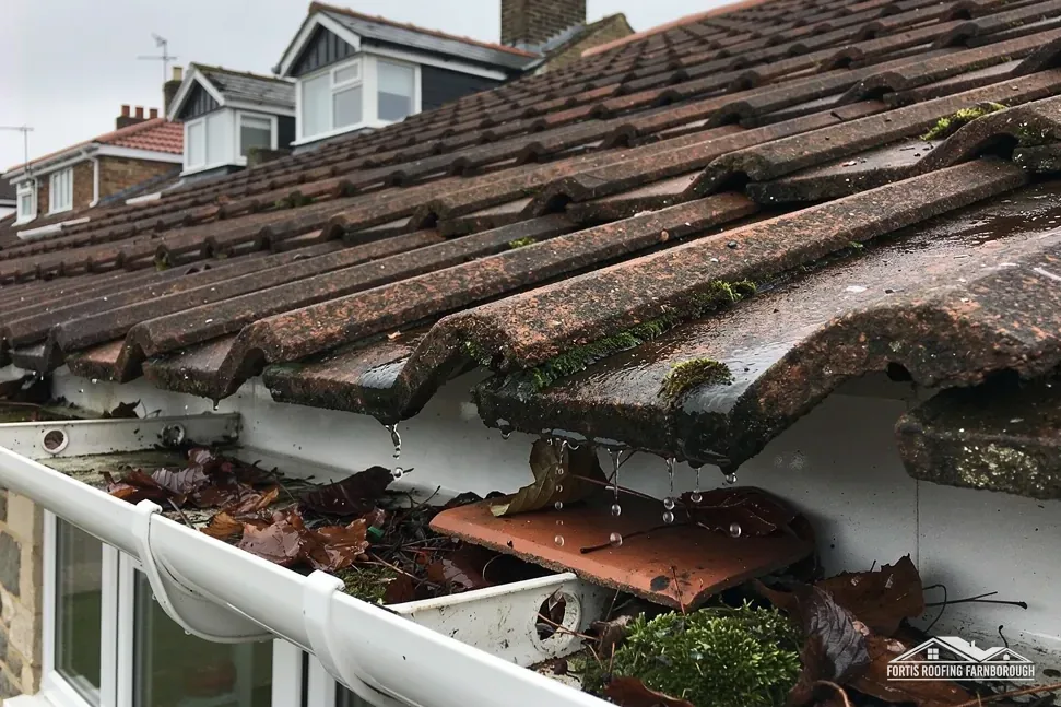
On the Environment Agency's mapping, land within about 250 m of Ash Vale's centre falls in Flood Zone 3. That layer concerns land, and it leaves tiles and battens alone. What it should prompt is a sceptical look at every gutter and downpipe. Water that spills from a sagging run or a blocked outlet soaks walls, stains ceilings and gets blamed on the roof. Our survey follows the water from slope to ground, and the report notes every joint that weeps.
The setting explains the trees. Ash Vale lies on the Bagshot Sands heath between the Blackwater valley and the Chobham Ridges, so open heath is never far from the houses. That is pleasant for residents and hard on gutters, so a cleared run is a sensible first step before any larger conclusion about a damp patch.
The heath setting adds one more job. Open ground and trees close to houses mean needles, leaves and moss in gutters and valleys, which is routine maintenance and not a defect. Our gutters, soffits and fascias page explains how runs are cleared, repaired and replaced.
Chapter 03 of 03
Four facts about who handles an Ash Vale roof job
Guildford Borough Council runs its own building control service, which it calls impartial and not-for-profit. Ash Vale sits in Guildford borough, so that service is the one that inspects work that needs it, unless you choose a registered building control approver, the private route under the registration regime in force since 6 April 2024. Neither is needed for a handful of tiles. The Planning Portal's guide puts the line at under 25 per cent of the building envelope and under 50 per cent of the roof, and says a covering 15 per cent or more heavier needs approval after a structural check.
A scaffold standing on an Ash Vale road or footway needs a licence from Surrey County Council, the highway authority. It charges £208 per 28-day period, wants applications at least 10 working days ahead, and treats the application fee as non-refundable. Who applies is left unstated on the council's page, so we settle the licence with the scaffolder and set the dates down for you in writing. Poles that stay on your own land need no licence at all.
On 1 April 2027 Surrey's councils are replaced, and Guildford becomes part of West Surrey Council. Surrey County Council's page states that for the time being the way you receive services stays as it is. A job booked today is handled by the councils that exist today. If the work will straddle the changeover, we establish who inherits each question and report back before poles are erected, so that no consent is stranded with a council that has ceased to exist.
Two Surrey dates
Weather matters too. The Met Office's South Farnborough averages for 1991 to 2020 show 118 wet days a year and around 53 days of air frost, so a scaffold stands through some of both and the programme allows for it. Wherever the work sits, we agree the order of events at the survey: any consent first, the licence next, the scaffold after that, and the roof last. You hear what is happening on each day, and the site is cleared as we go, with waste taken away and nothing left lying where it could cause a hazard or an annoyance.
It lies within about 0.75 km of the village centre, so it may. The boundary decides, and Guildford's map shows it. We look up every Ash Vale address before pricing any change to the covering, ridge or chimney, and the result goes into the report so that it stays on file for you.
Guildford's guidance is that chimneys are protected wherever an Article 4 direction applies: they stay unless permission is given. Whether one covers your road is shown by the council's map, with its Article 4 layer switched on. We check it first, because a chimney is the part of the roof that Guildford's guidance names.
West Surrey Council takes the place of Guildford and Surrey County Council from 1 April 2027. Until then Guildford's own building control service handles inspections, and the county's page says services are unchanged for now. If your job runs past that date, we find out who holds the file and tell you, in plain terms and in good time.
Parts of the land within about 250 m of the centre are in Flood Zone 3, and a heath setting means leaves and moss collect in valleys and runs. Water from a blocked outlet is easily blamed on the roof, so we trace it from slope to ground and photograph every weeping joint.
Get your free roof quote
Give us your Ash Vale road and what is wrong. A survey comes first, then the price, once, in writing.
10-year workmanship guarantee, in writing.